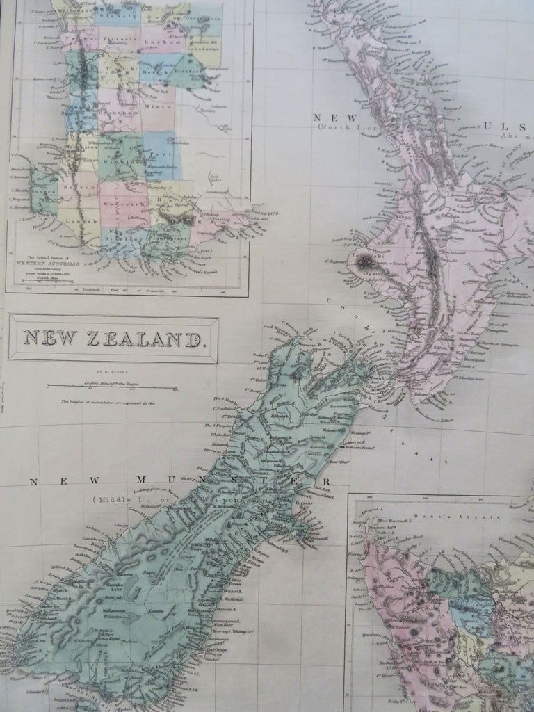
New Zealand Western Australia Tasmania Van Diemen's Land c 1853 Black Hughes map
Brian DiMambro


New Zealand
(Old Maps, 19th Century Maps, Oceania, New Zealand, Auckland, Wellington, Christchurch, Tasmania, Van Diemen's Land, Western Australia, Perth).
Issued 1851-53, Edinburgh by A. & C. Black. Engraved in London by S. Hall.
Lovely mid-19th century antique map. Engraved with original hand color.
Large detailed inset top left of earliest settled portions of Western Australia, bottom right nice inset of Van Diemens Land showing interior terrain and naming 11 counties in key.
A nice level of topographic detail adds to the map's visual appeal. As noted by Tooley, there are numerous variant versions of this nice map.
Paper gently and uniformly age-toned, but otherwise a clean and fine example. Map displays a pleasant, mellow age patina.
Sheet measures c. 12 1/4" x 17 1/4".
Printed area measures c. 10 1/4" x 14 1/2".
Tooley, Mapping of Australia , 201-02.
Tooley's Dictionary of Mapmakers , vol. 2, p. 253.
[R35548].
