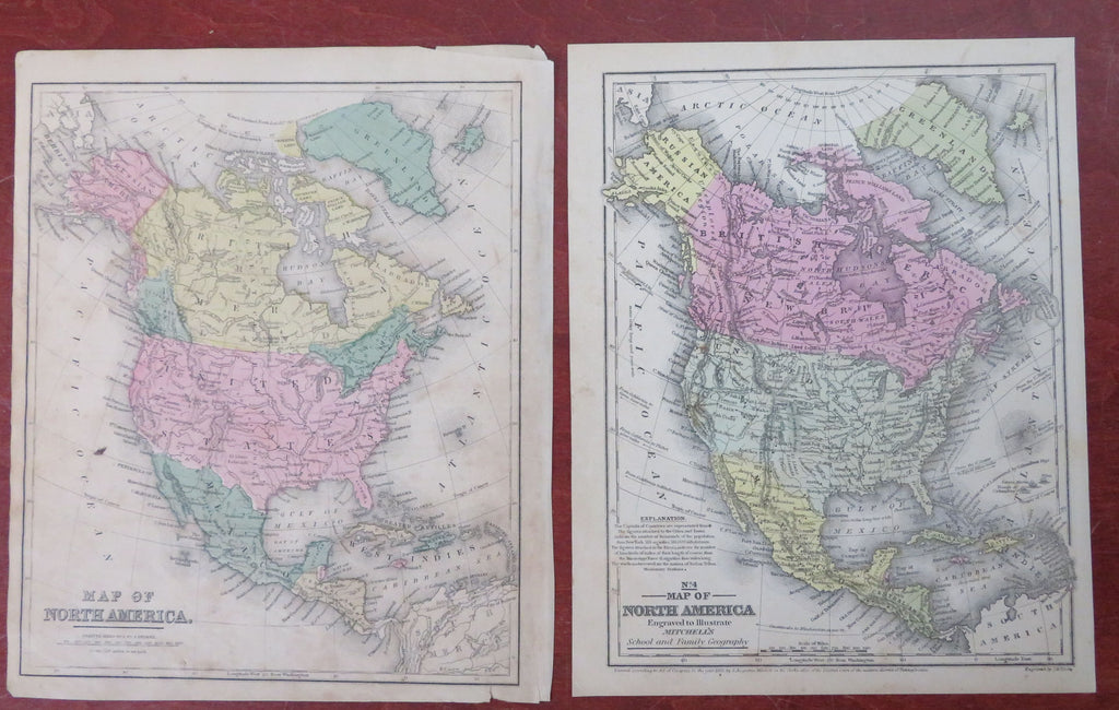
North America Antebellum United States Canada Mexico Alaska 1853 lot x 2 maps
Brian DiMambro


Lot x 2 Maps.
(Old Maps, 19th Century Maps, North America, United States, Canada, Mexico, Russian America, Caribbean Sea, Greenland).
Issued 1853 & c.1869, United States by Various.
Mid 19th century lot x 2 antique engraved maps with original hand color.
Well preserved, nice looking example with pleasing age patina. Scattered age soiling and small staining as seen in pics.
Larger Map Measures c. 11 1/4" H x 17" W.
Smaller Maps Measures c. 9 3/4" H x 11 1/4" W.
[R33807].
