North America British Canada 1874 Mitchell decorative hand colored nice map
Brian DiMambro- Antiquarian Books, Maps & Prints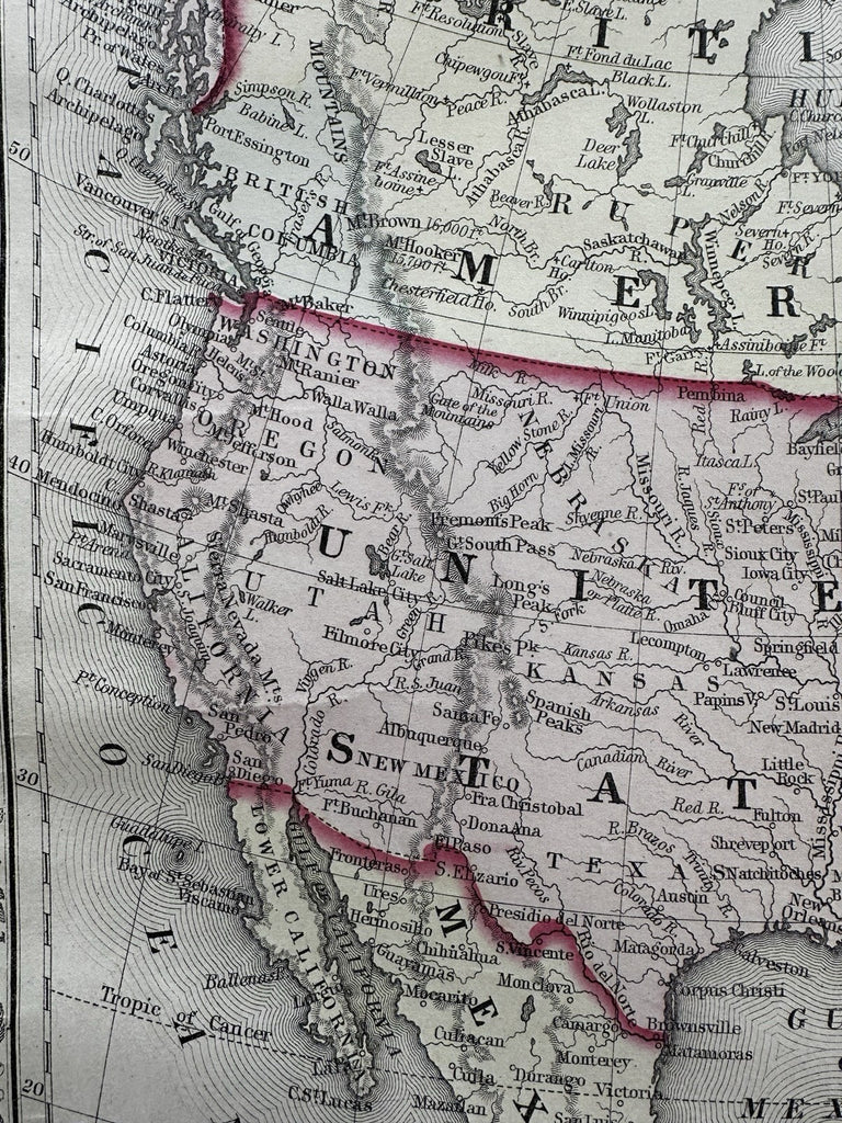
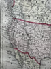
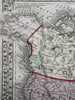
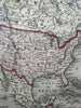
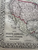
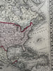
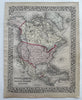
Map of North America showing its political divisions. and recent discoveries in the polar regions.
Issued 1874 Philadelphia by S.A. Mitchell.
Nice mid-19th century lithographed map, with original hand color.
Attractive example, clean, pleasing age patina, any minor age flaws easy to overlook or forgive.
Sheet Measures c. 15 1/4" x 12 1/4”.
Engraved Area Measures c. 13 1/2" x 10 1/4”.
Cartographic Reference(s):
Reps, American Maps and Mapmakers, p. 313.
Tooley's Dictionary of Mapmakers, vol. 1 & vol. 4, pp. 260.
R36533