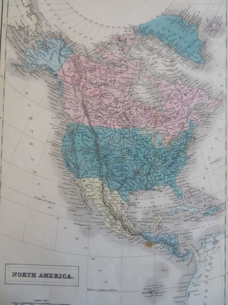
North America Territorial United States Mexico Caribbean 1854 Black folio map
Brian DiMambro- Antiquarian Books, Maps & Prints


North America.
(Old Maps, 19th Century Maps, North America, Canada, United States, Mexico, Central America, Caribbean Sea, Galapagos Islands).
Issued 1854, Edinburgh by A.& C. Black.
Mid 19th century engraved map with original hand color.
Elongated territories seen in the American west.
Well preserved, small stain near Guatemala, nice looking example with pleasing age patina.
Sheet Measures c. 17 1/2" H x 12 1/4" W.
Engraved Area Measures c. 14 3/4" H x 10" W.
Cartographic Reference(s):
Tooley's Dictionary of Mapmakers, vol. 1.
[R29518].
