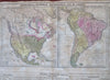
North & South America early United States 1821 Phila. Carey lg. hand color map
Brian DiMambro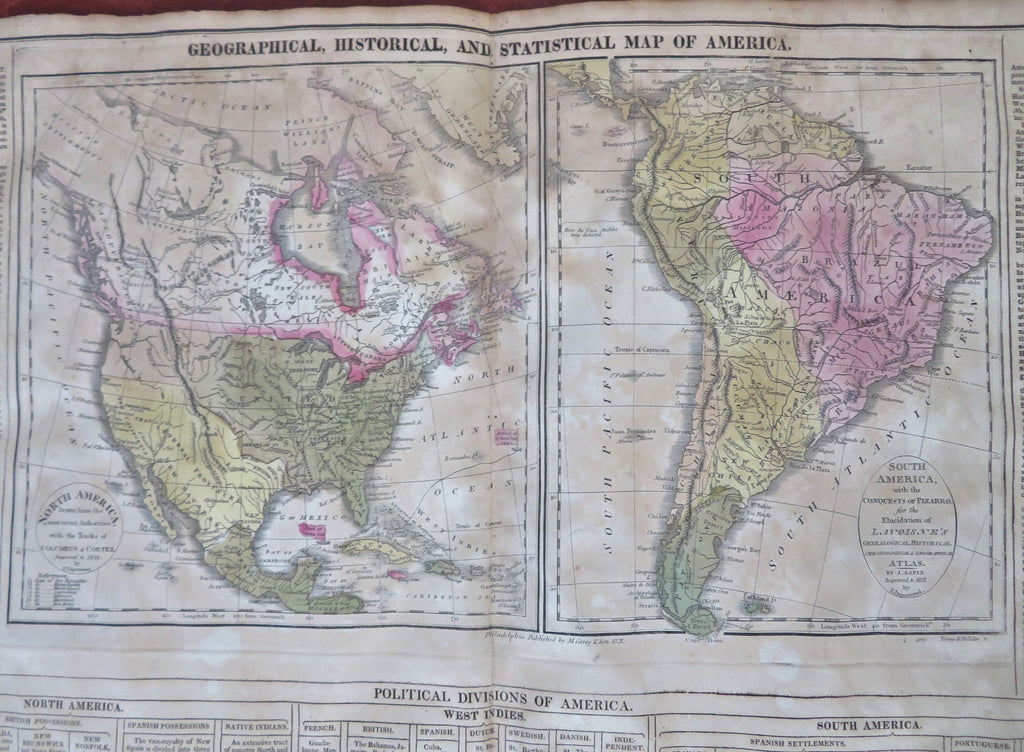
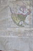
Geographical, Historical, and Statistical Map of America.
(Old Maps, 19th Century Maps, North America, South America, United States, Canada, Mexico, Caribbean, Brazil, Peru, Chile, Patagonia, La Plata, Columbia, Venezuela).
Issued 1821, Philadelphia by T.H. Palmer for M. Carey & Sons. Third ed. Engraved by Young & Delleker.
Early 19th century engraved folio sheet map with original hand color.
Great map relating to the early United States as it evolves throughout late 18th and early 19th century.
Encyclopedic text relating to both Americas surrounds map including religion, government, natural history, battle history list, dominions and kingdoms, etc. Across the bottom is a long essay about the "Discovery and First Settlement of America by Europeans".
Well preserved, nice looking example with pleasing age patina. Moderate age toning, some damp staining & foxing across sheet, top center of sheet slightly more age toned.
Minor c. 1" edge splits along bottom edge repaired with archival tape.
Original centerfold as issued.
The heavy paper is somewhat brittle and requires delicate handling. Nice large antique map with a mellowed age patina, looks exactly what you'd imagine an early 19th century folio sheet map might look like if found sitting in a pile of old papers up in an attic.
Sheet Measures c. 17 1/2" H x 22" W.
Engraved Area Measures c. 9 1/2" H x 19" W.
Cartographic Reference(s):
Tooley's Dictionary of Mapmakers, vol. 1.
[R33968].