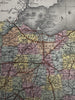
Ohio state Erie Canal profile 1855 Cowperthwait hand colored map
Brian DiMambro- Antiquarian Books, Maps & Prints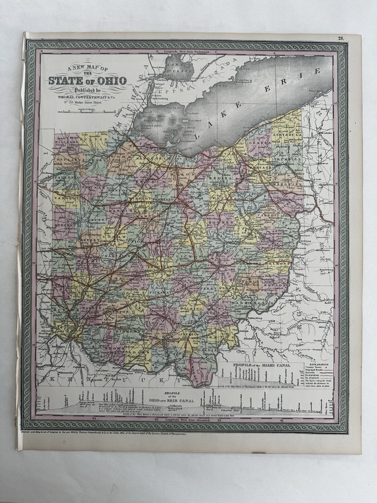
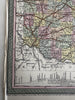
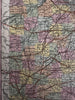
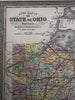
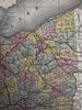
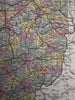
A new map of the state of Ohio.
Published 1850-55, Phila. by Thomas, Cowperthwait & Co. (This variant issue likely being 1854-5 despite the imprint at bottom stating 1850). There are several variants of this map which all display the same 1850 imprint but were released across years within atlases having later title page dates.
Fascinating mid- 19th century (engraved) lithographed map with original hand color.
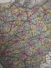
Profiles of Ohio, Erie and Miami canals in boxes across bottom.
Well printed and colored folio sheet map, perfect for display, gift giving, being part of a collection, etc.
Clean, fresh, near fine condition. Left blank margin edge narrow and wrinkled as seen with small stitch holes into the neat line.
Sheet measures c. 16 7/8” x 13 1/2”.
Printed area c. 15 1/2" x 13".
R36535