Ontario Canada Great Lakes region 1908 McNally large overprinted map
Brian DiMambro- Antiquarian Books, Maps & Prints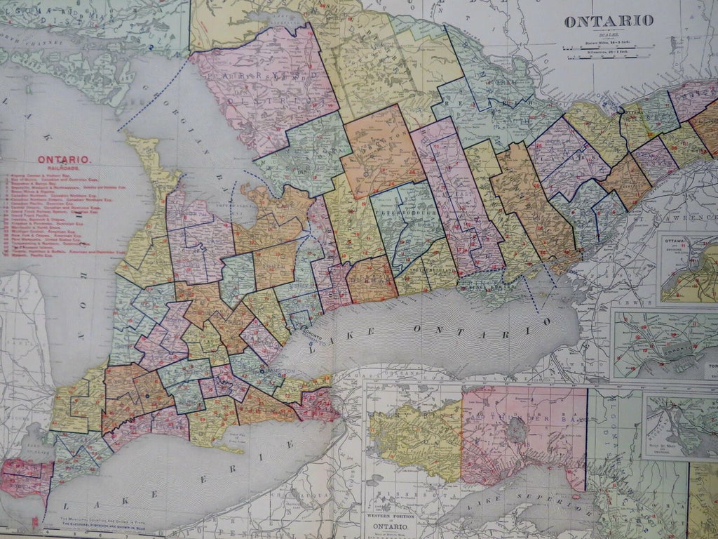

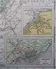
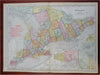
Ontario.
(Old Maps, Early 20th Century Maps, North America, Canada, Ontario, Ottawa, Toronto, Thunder Bay, Niagara).
Issued 1908, Chicago by Rand McNally.
Large, oversized early 20th century color lithographed map. Not to be confused with the much more common smaller maps by this same maker, this one from the much more expensive and scarcer monumental Business Atlas. This size allows for much more detail.
Well preserved, nice looking example with pleasing age patina. Short edge tear nicely closed on reverse with archival tape and now almost invisible when viewing map.
Original center fold as issued.
Sheet Measures c. 20 1/2" x 28".
Printed Area Measures c. 19" x 27 1/2".
Cartographic Reference(s):
Tooley's Dictionary of Mapmakers, vol. 4.
[R30661].