Oudenaarde Flanders Belgium City Plan Fortifications c. 1710 hand color plan map
Brian DiMambro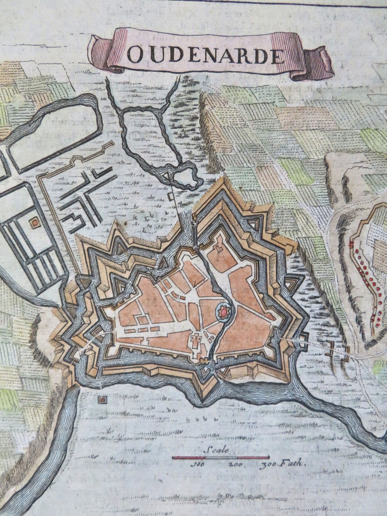
Oudenarde.
(Old Maps, 17th Century Maps, Europe, Low Countries, Belgium, Oudenaarde, City Plan, Star Fort, Military Fortifications).
Issued c. 1710, London.
Late 17th century engraved map with attractive hand color.
Remains a nice looking example with a pleasing age patina. Any age flaws mostly minor and easy to overlook or forgive.
Sheet Measures c. 7 1/2" H x 7 3/4" W.
Engraved Area Measures c. 6"H x 5 1/2" W.
[B12415].