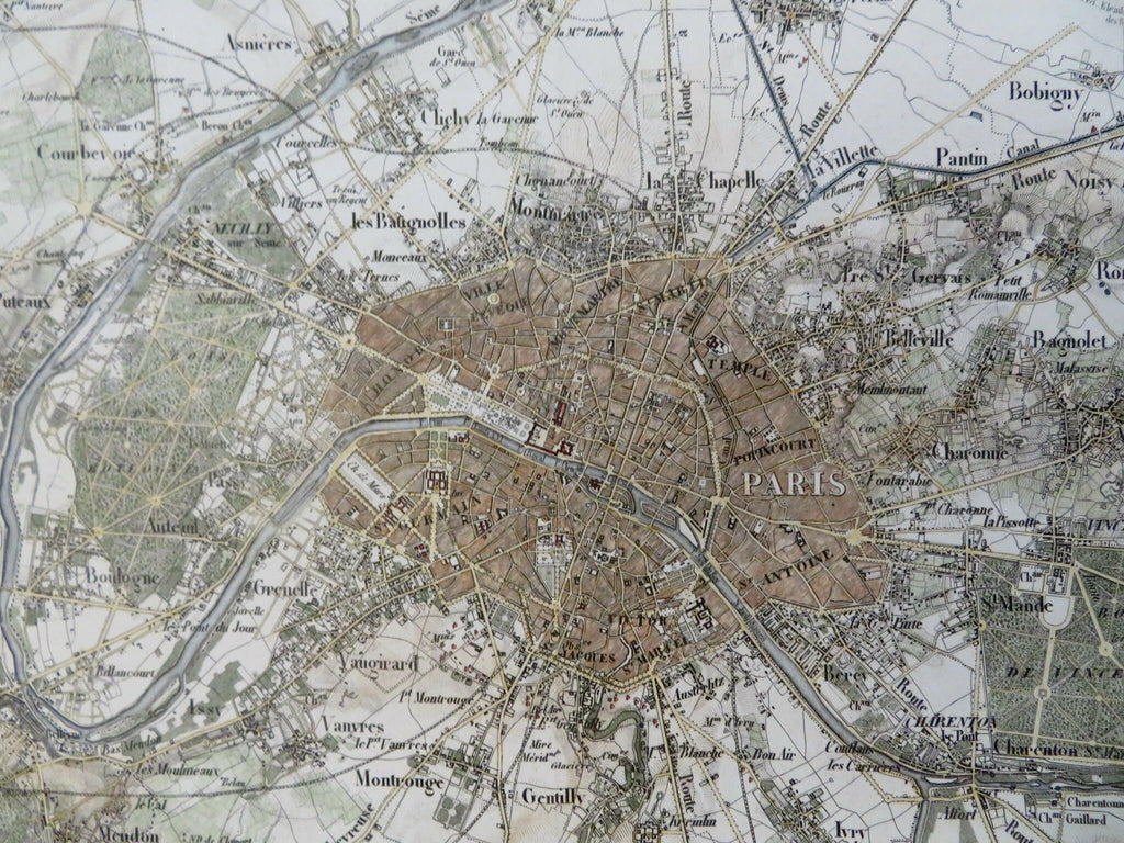
Paris France engraved city plan c. 1850's excellent detailed map w/ hand color
Brian DiMambro- Antiquarian Books, Maps & Prints


Topographische Karte von Paris un Gegend.
(Old Maps, 19th Century Maps, Europe, France, Paris, Detailed City Plan).
Issued c. 1850's, Germany by Meyer.
Very detailed mid-19th century engraved city plan with attractive hand color. The closer you look the more you see, the engravers level of mastery with nuanced detail is at it's pinnacle in this map. The plate must have taken weeks to engrave.
Remains a clean and nice looking example with a pleasing age patina.
Any age flaws mostly minor and easy to overlook or forgive. Centerfold.
Sheet Measures c. 10" H x 12 3/8" W.
Engraved Area Measures c. 8 1/2" H x 11" W.
[R36092-R28261].
