Paris France Seine River Champs Elysée Tuileries c. 1850's detailed city plan
Brian DiMambro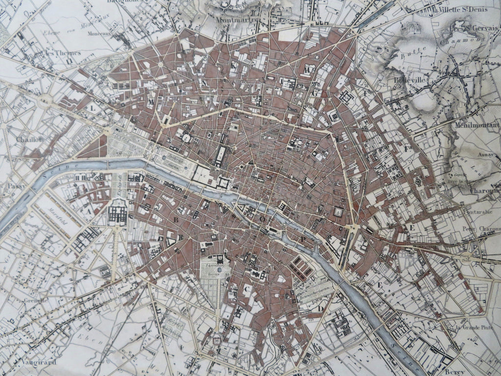


Plan von Paris.
(Old Maps, 19th Century Maps, Europe, France, Paris, City Plan, Seine River).
Issued c. 1850's, Germany by Heck. Engraved by R. Schmidt & Madel.
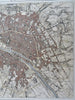
Splendidly detailed mid-19th century engraved city plan with attractive hand color.
Remains a nice looking example with a pleasing age patina. Any age flaws mostly minor and easy to overlook or forgive.
Sheet Measures c. 9 1/2" H x 11 1/2" W.
Engraved Area Measures c. 8" H x 10" W.
Cartographic Reference(s):
Tooley's Dictionary of Mapmakers, vol. 2.
[R32226].