Peru & Bolivia Lima La Paz Andes South America 1860 Lowry large hand color map
Brian DiMambro- Antiquarian Books, Maps & Prints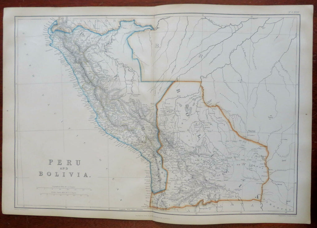
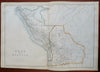
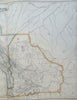
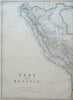
Peru & Bolivia.
(South America, Peru, Bolivia, Lima, La Paz, Andes Mountains, Lake Titikaka).
Issued 1860, Glasgow by Blackie & Son. Engraved by J.W. Lowry.
Fine large mid 19th century engraved map with original outline hand color.
From an uncommon atlas of the era, a monumental folio production that was fairly expensive in its day.
Well preserved, clean, some light uniform age toning to paper as typical, overall a nice looking example with pleasing age patina.
Original center fold as issued.
Sheet Measures c. 21 1/2" x 14 5/8".
Engraved Area Measures c. 19 1/2" x 13 1/2" .
Cartographic Reference(s):
Tooley's Dictionary of Mapmakers, vol. 1, 143.
[R27061].