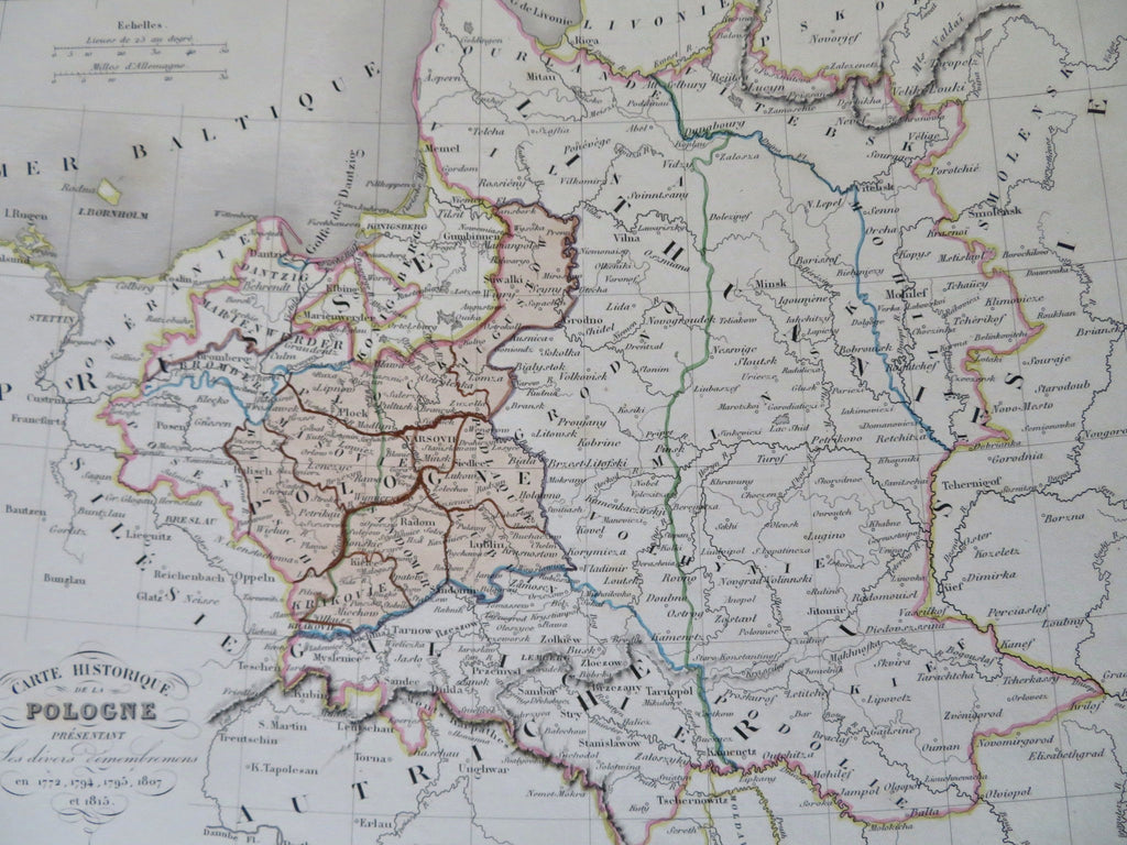
Poland Historical Borders Partition Lithuania Commonwealth 1846 historical map
Brian DiMambro


Carte Historique de la Pologne.
(Old Maps, 19th Century Maps, Europe, Poland, Polish-Lithuanian Commonwealth, Partitions, Russia, Prussia, Austria, Warsaw, Krakow, Vilnius).
Issued 1846, Paris.
Uncommon mid 19th century antique engraved historical map with original hand color.
Well preserved, nice looking example with pleasing age patina.
Sheet Measures c. 12" H x 15 1/4" W.
Engraved Area Measures c. 8 1/2" H x 11 1/2" W.
[R32485].
