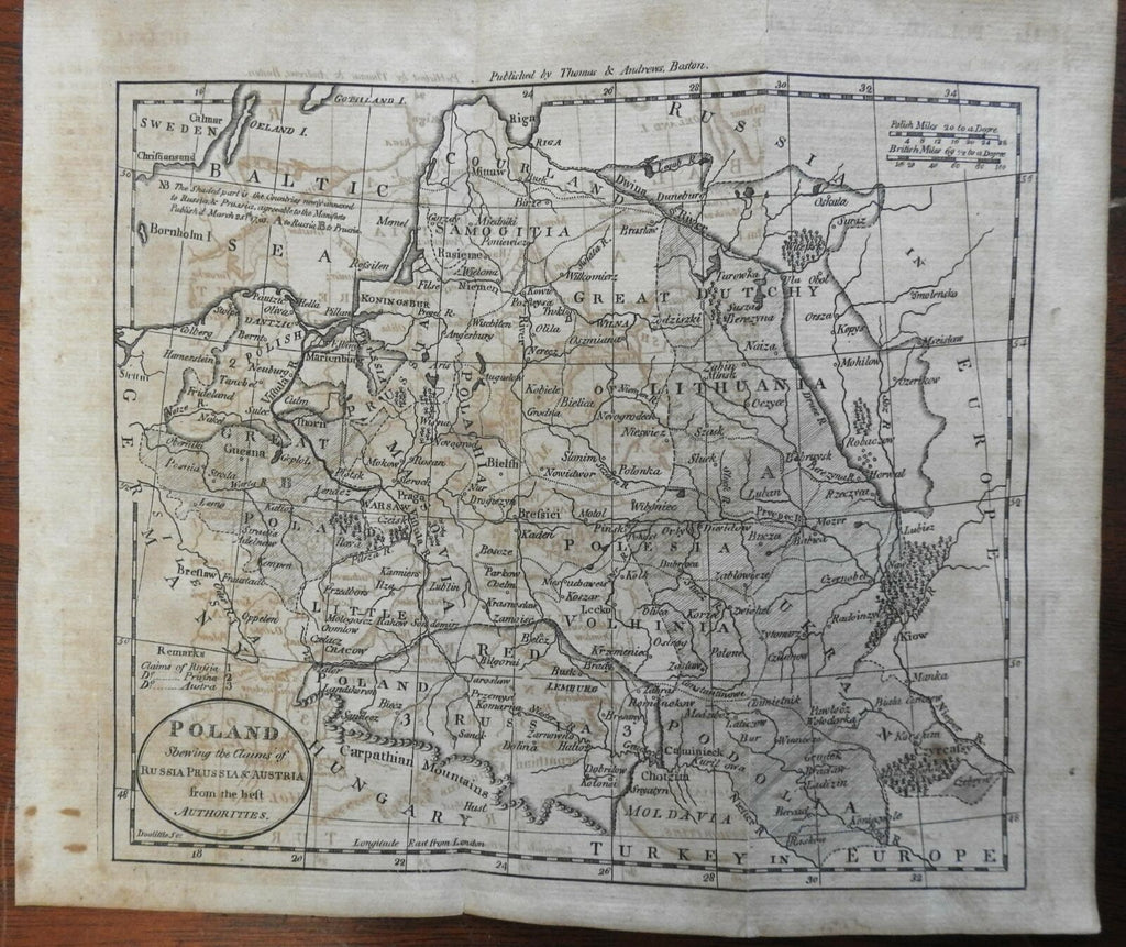
Poland Polish Commonwealth Partition Austria Prussia Russia 1796 Doolittle map
Brian DiMambro- Antiquarian Books, Maps & Prints


Poland Showing the Claims of Russia Prussia & Austria from the best Authorities.
(Europe, Poland, Lithuania, Courland, Prussia, Austria, Russia, Warsaw, Kiev).
Issued 1796, Boston by Thomas & Andrews. Map engraved by Amos Doolittle.
Late 18th century early American engraved map.
Paper well age toned, some visible offsetting, short closed splits at fold line ends.
Original fold lines as issued.
Sheet Measures c. 8 1/2" H x 10" W.
Engraved Area Measures c. 7 1/4" H x 8 1/2" W.
Cartographic Reference(s):
Wheat & Brun, Maps Published in America Before 1800, 794.
Tooley's Dictionary of Mapmakers, vol. 1.
[R25871].
