Polish-Lithuania Commonwealth Warsaw Krakow 1744 Senex engraved hand color map
Brian DiMambro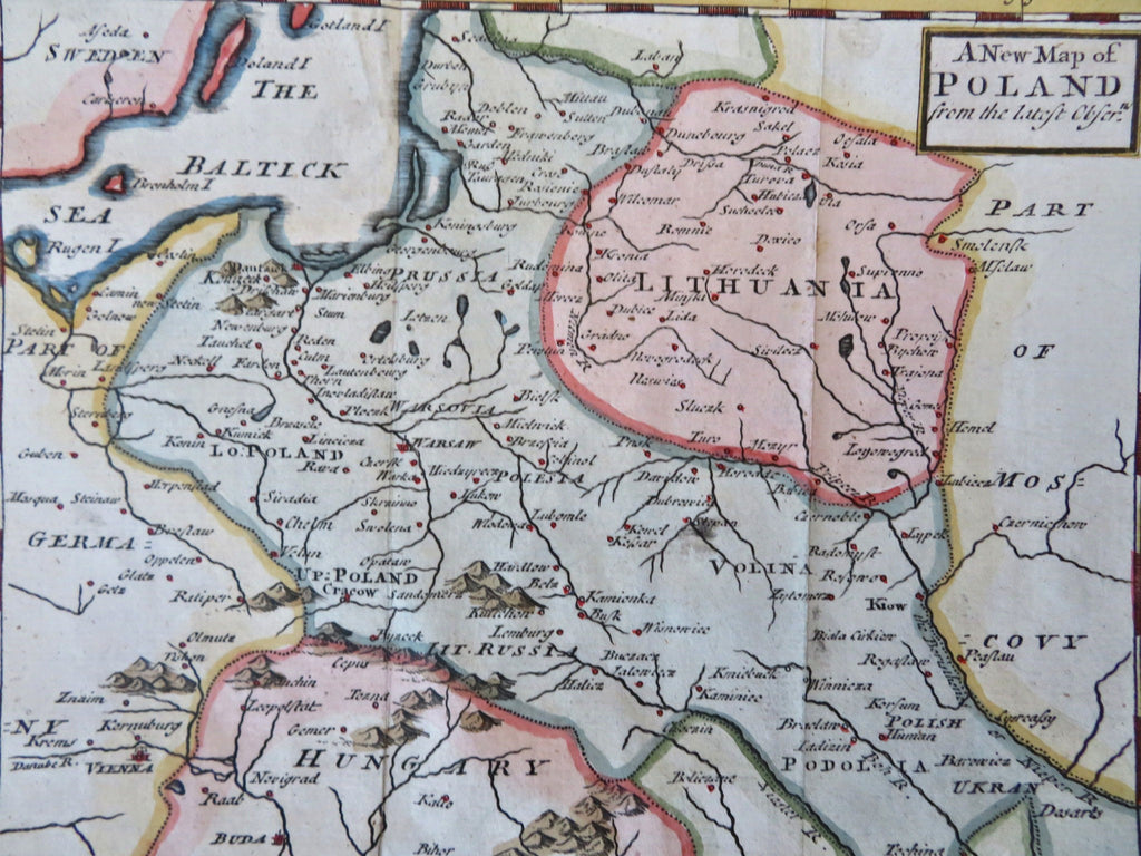
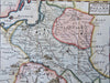
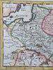
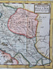
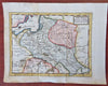
A New Map of Poland from the Latest Observations.
(Old Maps, 18th Century Maps, Europe, Polish-Lithuania Commonwealth, Poland, Lithuania, Warsaw, Krakow, Lvov).
Issued 1744, London, likely by J. Senex.
Mid 18th century engraved map with attractive hand color.
Remains a nice looking example with a pleasing age patina. Any age flaws mostly minor and easy to overlook or forgive.
Original fold lines as issued.
Sheet Measures c. 8" H x 9 1/2" W.
Engraved Area Measures c. 6" H x 7" W.
[R33615].