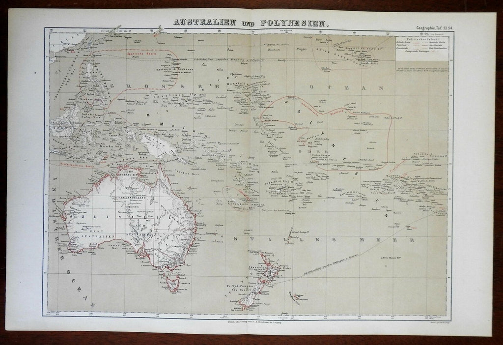
Polynesia Australia New Zealand Hawaii New Guinea 1874 color lithographed map
Brian DiMambro- Antiquarian Books, Maps & Prints


Australien und Polynesien.
(Oceania, Australia, New Zealand, Papua New Guinea, Polynesia, Hawaii, Fiji).
Issued c. 1874, Leipzig by A. Brockhaus. Map by H. Lange.
Late 19th century antique color lithographed map.
Well preserved, nice looking example with pleasing age patina.
Original center fold as issued.
Sheet Measures c. 13 3/4" H x 21" W.
Engraved Area Measures c. 12 1/4" H x 17 1/4" W.
Cartographic Reference(s):
Espenhorts, Bibliog. der Handatlanten, pp. 378-80.
Tooley's Dictionary of Mapmakers, vol. 1, p.192.
[R23574].
