Qing Empire Mongolia Korea Tibet c. 1860's Brue large detailed map hand color
Brian DiMambro- Antiquarian Books, Maps & Prints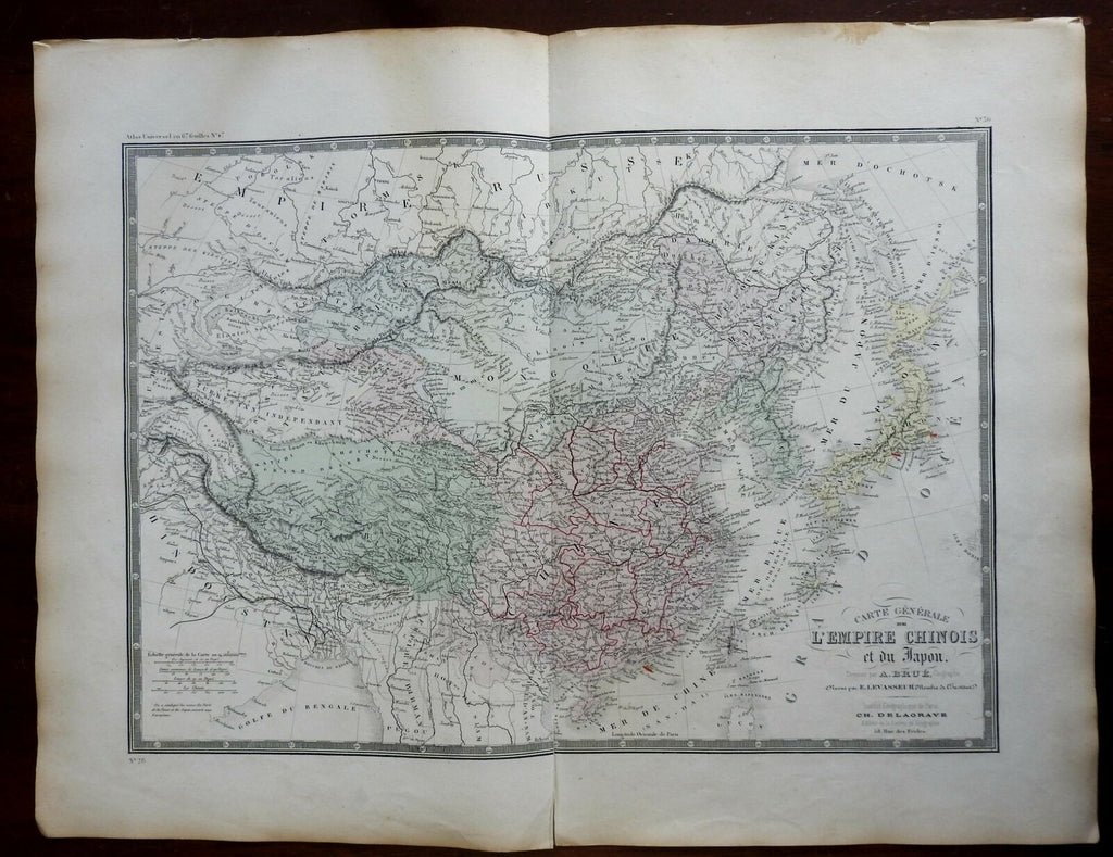
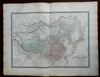
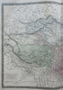
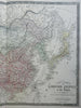
Carte Generale L'Empire Chinois et du Japon.
(Asia, Qing Empire, China, Mongolia, Tibet, Korea, Japan).
Issued c. 1860-70's, Paris by A. Brue. [Delagrave].
Lovely and uncommon early 19th century folio sheet antique map. Engraved with original hand color, piano key border.
Longitude given from Paris.
3" split up from bottom centerfold, three orange highlights for cities done long ago.
Minor light offsetting, but overall clean and attractive.
Original fold line as issued.
Sheet measures c. 19" x 24 1/2"
Engraved area measures c. 14" x 20"
[R25544]
Tooley's Dictionary of Mapmakers, v. 1, p. 199.