Queen Charlotte Islands Haida Gwaii Canada 1774 engraved Exploration map
Brian DiMambro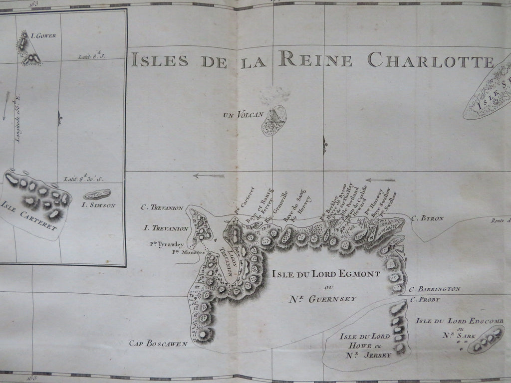

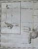
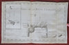
Isles de la Reine Charlotte.
(Old Maps, 18th Century Mapsm, Graphic Arts, Age of Exploration, Sailing Ships, World Voyages,).
Issued 1774, Paris for Hawkesworth for the English Exploration of the Southern Hemisphere. Engraved by Benard.
A nice 18th century copper engraved print relating to the nautical exploration of this area.
Nice looking example, pleasing age patina, minor light staining, dustiness or toning, remains mostly clean, any minor age flaws easy to overlook or forgive.
Original fold lines as issued.
Sheet measures c. 10 1/4" H x 16" W.
Engraved area measures c. 9 1/4" H x 15" W.
[R33818].