Queen Charlotte's Island New Hanover 1903 Hoen Edwards Historical Map
Brian DiMambro- Antiquarian Books, Maps & Prints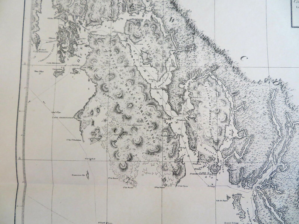
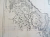
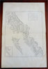
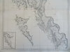

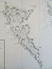
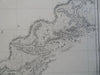
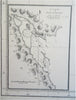
A Chart Shewing Part of the Coast of N.W. America with the Tracks of His Majesty's Sloop Discovery and Armed Trader Chatham.
(North America, Canada, British Columbia, Duke of Clarence Strait, Prince of Wales' Archipelago, New Hanover).
Issued 1903, Washington for the Alaskan Boundary Tribunal. Lithographed in Baltimore by Hoen. Original map issued 1798, London by J. Edwards. Engraved by T. Foot.
Early 20th century reissue of this historical map pertaining to the historical boundaries of Alaska for the use of a 1903 international tribunal to finalize the Alaskan border with Canada.
Well preserved, nice looking example with pleasing age patina.
Original center fold as issued.
Sheet Measures c. 19" H x 29" W.
Printed Area Measures c. 16 1/2" H x 22" W.
Cartographic Reference(s):
Tooley's Dictionary of Mapmakers, vol. 2.
[R28381].