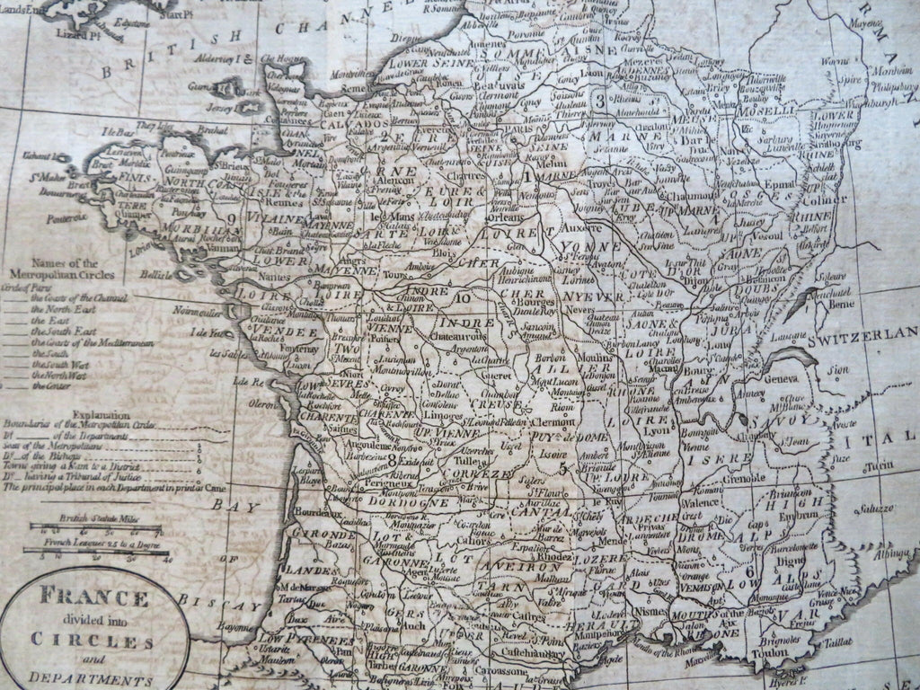
Revolutionary France Paris Marseilles Orleans Bordeaux 1796 Amos Doolittle map
Brian DiMambro


France Divided into Circles and Departments.
(Old Maps, 18th Century Maps, Europe, France, Revolutionary France, Paris, Orleans, Marseilles, Bordeaux, Toulouse).
Issued 1796, Boston by Thomas & Andrews. Engraved by Doolittle.
Uncommon late 18th century engraved map. Of note for the early date of creation within the United States.
Nice looking example, clean as issued, moderate to heavy offsetting as seen, light small age spotting, still a pleasing age patina, any minor age flaws easy to overlook or forgive.
Original fold lines as issued.
Sheet measures c. 8 1/4" H x 9 1/2" W.
Engraved area measures c. 7 1/4" H x 8 1/4" W.
Cartographic Reference(s):
Wheat & Brun, Maps Published in America Before 1800, 792.
O'Brien, Amos Doolittle, Engraver of the New Republic, pp. 21-30.
Tooley's Dictionary of Mapmakers, vol. 1.
[R31539].
