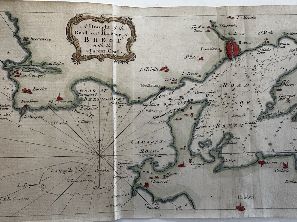
Road of Brest France harbor nautical coast chart 1760’s rare hand color map
Brian DiMambro- Antiquarian Books, Maps & Prints


Description coming soon.
Issued London, 1757, Sept. for Gentleman's magazine.
Scarce mid-18th century periodical map, especially found so attractive.
A visually superior example, clean, lovely hand coloring, overall map displays a pleasing age patina.
One fold lines nicely backed/ reinforced, expertly repaired on reverse.
Original fold lines as issued for this rare periodical map.
Sheet size c. 7 5/8" H x 18 1/8" W.
Engraved area c. 7" H x 17 1/8" W.
Pictures show this scarce 18th century map well. Please review them carefully at your leisure so you may clearly see what you are buying.
R36133
