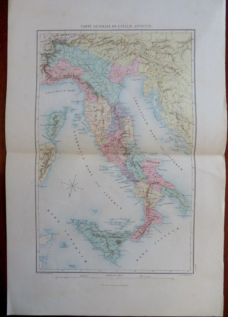
Roman Italy Ancient World Latium Umbria Etruria Liguria c. 1870's Becquet map
Brian DiMambro- Antiquarian Books, Maps & Prints


Carte Generale de L'Italie Ancienne.
(Old Maps, 19th Century Maps, Europe, Ancient World, Roman Empire, Latium, Liguria, Cisalpine Gaul, Umbria, Etruria, Campania, Apulia, Sicily, Brutii).
Issued c. 1870's Paris by Becquet. Engraved by Erhard Schieble.
Late 19th century color lithographed lithographed historical map with original hand color.
Well preserved, nice looking example with pleasing age patina.
Original center fold as issued.
Sheet Measures c. 15" H x 22" W.
Engraved Area Measures c. 11" H x 16 1/4" W.
Cartographic Reference(s):
Tooley's Dictionary of Mapmakers, vol. 1.
[R29852].
