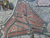
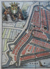
Rotterdam Holland Netherlands Nederland 1720 Harrewijn decorative city plan map
Brian DiMambro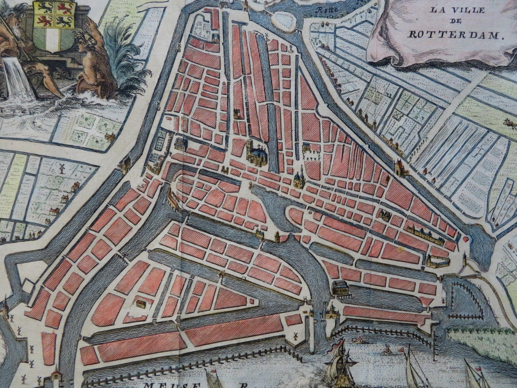
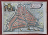
La Ville de Rotterdam.
(Old Maps, 18th Century Maps, Europe, Low Countries, Netherlands, Rotterdam, City Plan, Canals, Meuse River, Coat of Arms).
Issued 1720, Brussels. Engraved by Harrewijn.
Charming little early 18th century engraved city plan with attractive hand color. Large vignette scene with river gods at top left, title within a hanging banner top right. Meuse river across the bottom has sailing ships, numerous key buildings shown in prospect view.
Remains a nice looking example with a pleasing age patina. Any age flaws mostly minor and easy to overlook or forgive.
Original fold lines as issued.
Sheet Measures c. 6 1/2" H x 8 1/2" W.
Engraved Area Measures c. 5 3/4" H x 7 1/2" W.
[R31010].