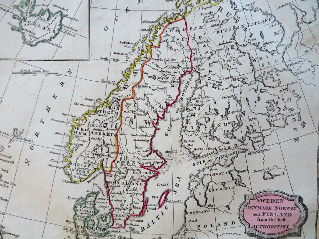
Scandinavia Sweden Norway Denmark Finland Iceland 1806 Barlow engraved map
Brian DiMambro


Sweden, Denmark, Norway, and Finland from the Best Authorities - Iceland Isle Drawn to the Same Scale.
(Old Maps, 19th Century Maps, Europe, Scandinavia, Baltic Sea, Denmark, Copenhagen, Sweden, Stockholm, Norway, Oslo, Finland, Helsinki, Iceland, Reykjavik).
Issued 1806, Bungay, England by C. Brightly & E. Kennersly. Engraved by E. Barlow.
Scarce early 19th century engraved map with original outline hand color.
Well preserved, nice looking example with pleasing age patina.
Sheet Measures c. 8" H x 9 3/4" W.
Engraved Area Measures c. 7 1/4" H x 8 1/2" W.
Cartographic Reference(s):
Tooley's Dictionary of Mapmakers, vol. 1.
[R31854].
