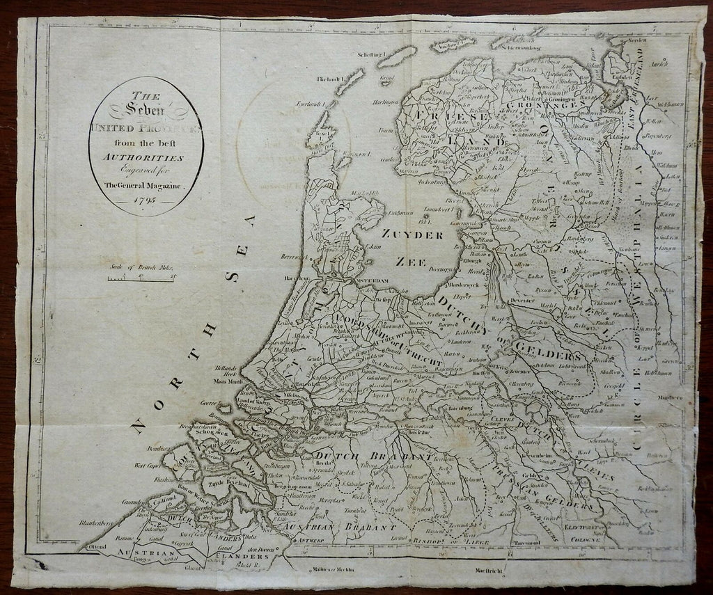
Seven United Provinces Netherlands Holland Brabany Gelders 1795 Montrose map
Brian DiMambro- Antiquarian Books, Maps & Prints


The Seven United Provinces from the Best Authorities.
(Europe, Low Countries, Netherlands, Holland, Zeeland, Dutch Brabant, Gelders, Utrecht, Friesland).
Issued 1799 [1795], London by Montrose.
Late 18th century engraved map.
Nice looking example, pleasing age patina, small chipping at right edge just touching into a couple spots of the darkest outside neat line, any minor age flaws easy to overlook or forgive.
Original fold lines as issued.
Sheet measures c. 9" H x 10 3/4" W.
Engraved area measures c. 8 3/4" H x 10 1/2" W.
[R24513].
