Southern India Sri Lana Madras Mysore Bombay 1865 Johnston large folio map
Brian DiMambro- Antiquarian Books, Maps & Prints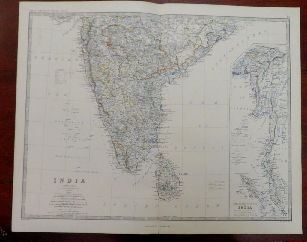
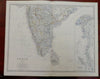
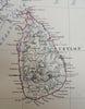
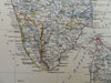

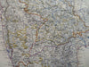
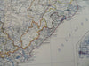
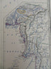
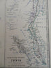
Indian (Southern Sheet).
(Old Maps, 19th Century Maps, Asia, Southeast Asia, India, Mysore, Madras, Bombay, Sri Lanka, Malaysia).
Issued 1865, Edinburgh & London by Wm. Blackwood for K. Johnston.
Fine oversize mid 19th century engraved map with original outline hand color. A nice large map of the era.
From an uncommon atlas, a monumental folio production which was quite expensive in its day and hence had a relatively small circulation compared to smaller format atlases.
Well preserved, clean, nice looking example with pleasing age patina.
Original center fold as issued. Printed on heavy thick paper, shipped in a tube weighing over 8 ounces.
Sheet Measures c. 19 1/2" H x 24" W.
Engraved Area Measures c. 17 1/4" H x 22 1/2" .
Cartographic Reference(s):
Tooley's Dictionary of Mapmakers, vol. 2.
[R30013].