Southern U.S. Georgia Western Territory 1798 rare map Kentuckey Carolinas GA
Brian DiMambro- Antiquarian Books, Maps & Prints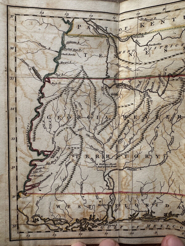
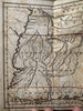
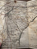
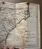
A Map of the Southern part of the United States of America.
Issued 1798, London by C. Dilly. Engraved by J. Russell.
Scarce early copper engraved map with original outline hand coloring (note the green verdigris lines showing on reverse of map which confirm paint age).
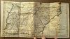
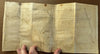
Orig. fold-lines as issued.
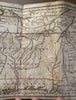
All the fold lines have split the map into panels which today have all been skillfully backed with archival tape to connect and reinforce them.
The heavy paper evidently became brittle along the fold lines and cleanly split in the past. So now the panels are perfectly joined and the map displays well.
Overall clean surface, light to moderate offsetting which is easy to overlook.
An uncommon and historically significant map capturing the Georgia Western Territory prior to it being sold to the Government and turned into modern day Mississippi and Alabama. A boundary line just to the left of the name Georgia notes that the Western Land is currently claimed (disputed) by the federal and state governments.
Florida is still divided in West and East.
Overall, remains a nice looking example with pleasant age patina.
Sheet size c. 15 3/4 x 8 1/8”.
Pictures show this nice map well. Please review them carefully at your leisure so you may clearly see what you are buying.
R36000