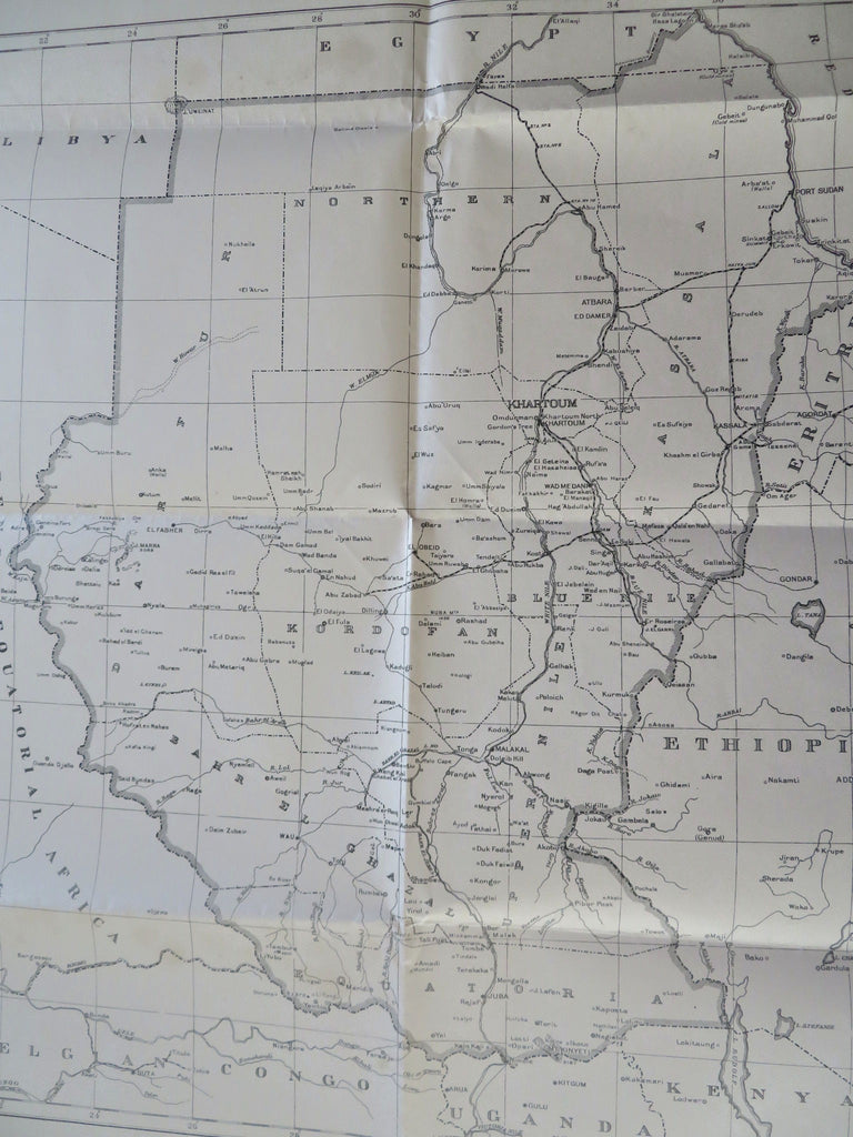
Sudan Khartoum Darfur Congo Ethiopia Uganda Africa 1940-1957 rare large old map
Brian DiMambro


Sudan.
(Old Maps, 20th Century Maps, Africa, East Africa, French Equatorial Africa, Belgian Congo, Ethiopia, Eritrea, Uganda).
Issued Khartoum, Sudan, 1940 by Sudan Survey Dept. - This version corrected to January, 1957.
Interesting and without question scarce old lithographed African map. Telegraph lines of communication are shown. Depicts African political boundaries in the era surrounding the Second World War.
Folded long ago by previous owner in less than expert manner, yet overall the map remains very clean and fresh as issued. Small old age spotting in wide blank margins.
Original fold lines as issued.
Sheet measures c. 32" x 23" (more than 2 1/2 feet tall).
Engraved area measures c. 23 1/2" x 20".
Folio.
[R35826].
