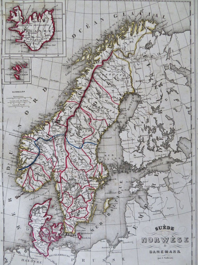
Sweden Denmark Norway Baltic Sea Iceland Faroe Island 1852 Vuillemin map
Brian DiMambro


Suede Norwege & Danemark.
(Old Maps, 19th Century Maps, Europe, Scandinavia, Sweden, Norway, Denmark, Iceland, Faroe Islands, Baltic Sea).
Issued 1852, Paris by Basset. Map by Vuillemin. Engraved by Ch. Smith.
Mid 19th century antique engraved map with original outline hand color. Small insets of Iceland and Faroe Islands at top left.
Well preserved, nice looking example with pleasing age patina. Some minor small age spotting and an early owner has written a place name off the island of Seeland Denmark.
Sheet Measures c. 10" H x 13" W.
Engraved Area Measures c. 9" H x 12" W.
Cartographic Reference(s):
Tooley's Dictionary of Mapmakers, vol. 2.
[R32482].
