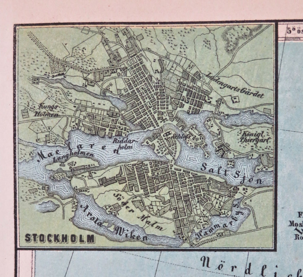
Sweden & Norway Scandinavia Baltic Sea Oslo Christiana Stockholm 1858-59 map
Brian DiMambro


Schweden und Norwegen.
(Old Maps, 19th Century Maps, Europe, Scandinavia, Sweden, Norway, Baltic Sea, Oslo, Christiania, Stockholm).
Issued 1858-59, Vienna by Obenheimer. Map by A. Skrzeszewski.
Mid 19th century color lithographed map.
Charming little inset plan of Stockholm at top left.
Well preserved, nice looking example with pleasing age patina.
Sheet Measures c. 9" H x 11 1/2" W.
Engraved Area Measures c. 7" H x 10" W.
Cartographic Reference(s):
Tooley's Dictionary of Mapmakers, vol. 4.
[R33755].
