Texas state by itself Railroads 1887-90 Cram scarce large detailed map
Brian DiMambro- Antiquarian Books, Maps & Prints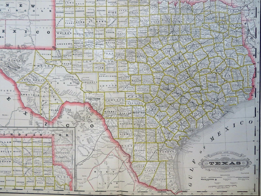
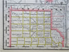
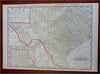
Railroad and County Map of Texas.
(Old Maps, 19th Century Maps, North America, United States, Texas, Dallas, Houston, El Paso, Austin, Railroads).
Issued 1887-90, Chicago by Cram for the scare large folio Standard American Atlas.
Large late 19th century color lithographed map. Not to be confused with the far more common smaller Cram maps, this much scarcer folio sheet version is a unique format with a short-lived production time.
Map remains clean, any small spots or center mis-creasing are easy to overlook or forgive visually.
Original center-fold as issued.
Sheet Measures c. 17 1/2" H x 25" W.
Printed Area Measures c. 16" H x 22" W.
Cartographic Reference(s):
Tooley's Dictionary of Mapmakers, vol. 1.
[R30740].