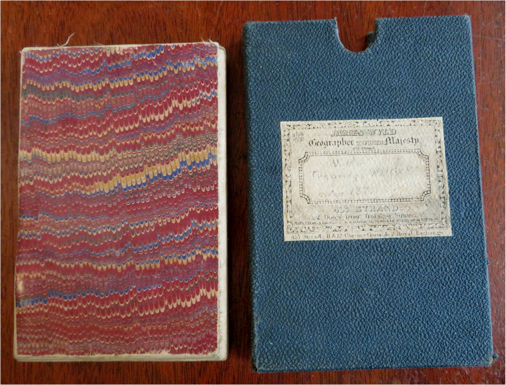
Turnbridge Wells England British Isles c. 1871 Wyld lg. linen backed boxed map
Brian DiMambro


Turnbridge - Wells.
(Old Maps, 19th Century Maps, Europe, British Isles, Turnbridge Wells).
Issued c. 1871, London by James Wyld.
19th century lithographed map, backed on linen as published with protective slip case.
Sheet Measures c. 26" H x 38 1/2"W.
Box c. 7" H x 4 3/4" W.
Cartographic Reference(s):
Tooley's Dictionary of Mapmakers, vol. 4.
[B9731].
