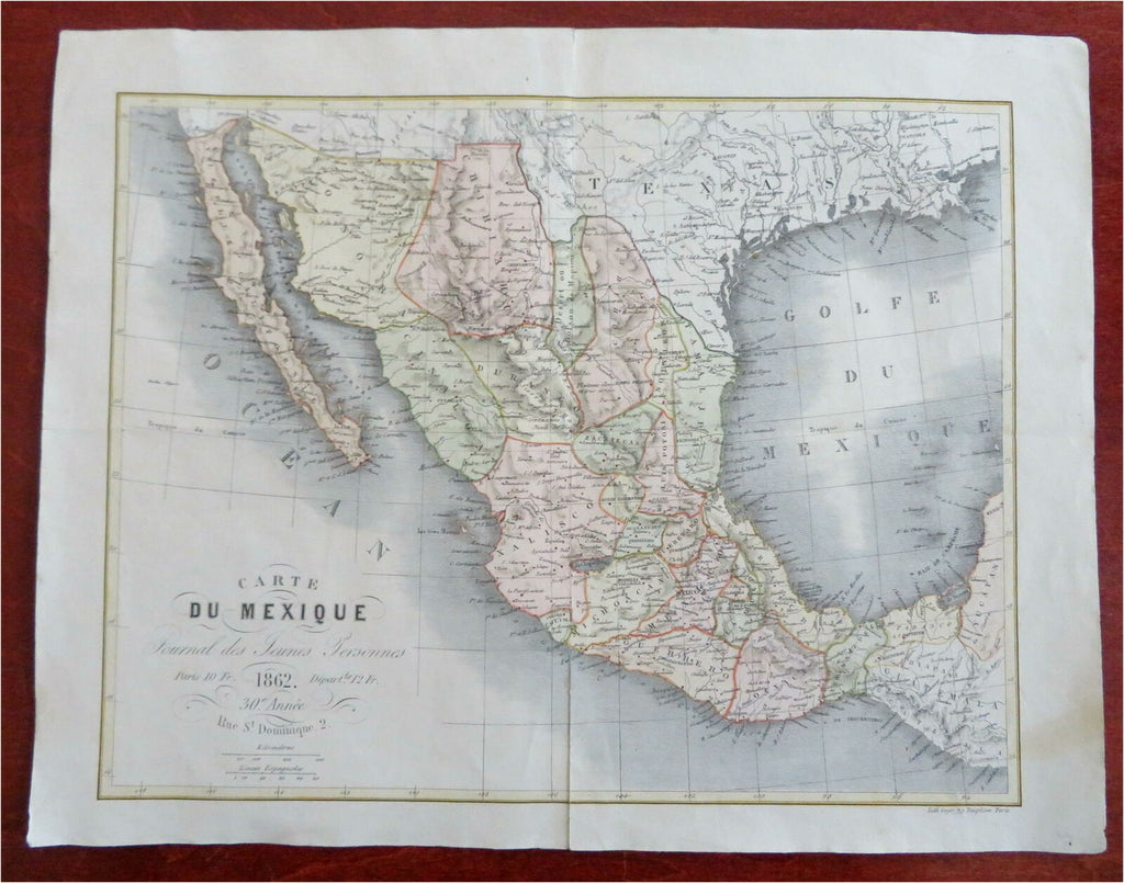
United Mexican States Mexico City Vera Cruz Rio Grande 1862 Goyer map
Brian DiMambro- Antiquarian Books, Maps & Prints


Carte du Mexique. (Journal des Jeunes Personnes).
(Old Maps, North America, Mexico, Mexico City, Vera Cruz, Rio Grande).
Issued 1862, Paris by Goyer.
Most of Texas is included.
Mid 19th century lithographed map with lovely hand color. Centerfold reinforced on reverse although the map presents well and shows no evidence of it.
Evidently it appeared within a French work during the American Civil War.
Sheet Measures c. 12 3/4" H x 13 1/2" W.
Printed Area Measures c. 9" H x 12" W.
Cartographic Reference(s):
Tooley's Dictionary of Mapmakers, vol. 2.
[R27536].
