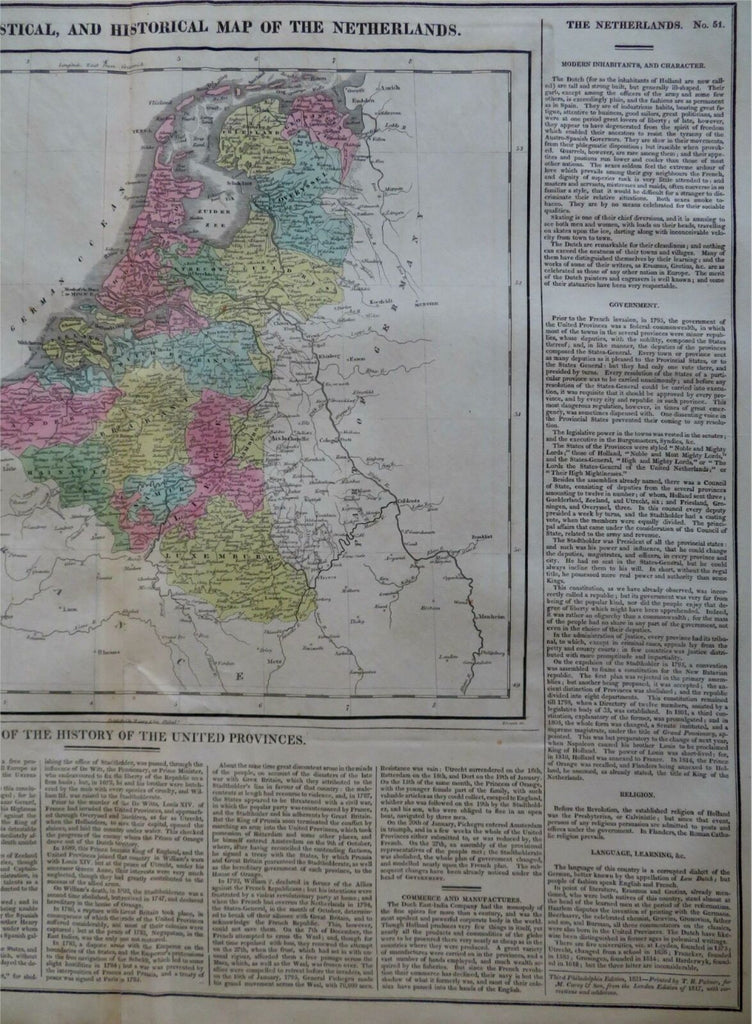
United Provinces Netherlands Holland Amsterdam 1821 Carey large historical map
Brian DiMambro- Antiquarian Books, Maps & Prints


Geographical, Statistical, and Historical Map of the Netherlands.
(Old Maps, Europe, Low Countries, Netherlands, United Provinces, Holland, Amsterdam).
Issued 1821, Philadelphia. Carey & Son.
Beautifully engraved early 19th century American-produced map. Printed on fine heavy paper with original hand color.
Map is surrounded by extensive historical and factual text, including commentary about history, commerce, topography, culture, religion, etc.
Nice looking example, pleasing age patina, any age flaws minor, easy to overlook or forgive. Closed 6" split along bottom centerfold line which is easy to overlook when viewing the map.
Original center fold.
Sheet Measures c. 17 5/8"H x 22"W.
Engraved Area Measures c. "H x "W.
Cartographic Reference(s):
Ristow, American Maps and Mapmakers, p. 151, et al.
Tooley's Dictionary of Mapmakers, vol. 1, pp. 234.
[R27605].
