United States Texas German Colony Mormon Settlement 1850 Radefeld map
Brian DiMambro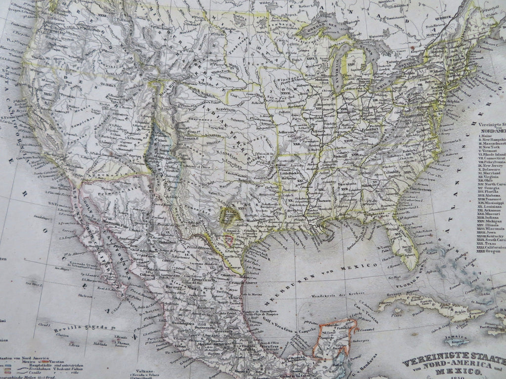
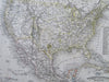
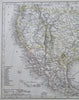
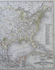
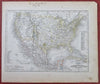
Vereinigte Staaten von Nord-America und Mexico.
(Old Maps, 19th Century Maps, North America, United States, Mexico, Texas, New Mexico, German Colony, Mormon Settlement).
Issued c. 1850, Hildburghausen, Germany by the Bibliographic Institute. Map by Major Radefeld.
Mid 19th century antique engraved map with original outline hand color.
Of note for the prominent European settlement colonies within Texas and the Mormons near the Great Salt Lake. Also notes Sutter's Fort in California near the discovery of gold.
Well preserved, nice looking example with pleasing age patina.
Sheet Measures c. 11 3/4" H x 9 3/4" W.
Engraved Area Measures c. 9 3/4" H x 7 1/4" W.
Cartographic Reference(s):
Tooley's Dictionary of Mapmakers, vol. 1.
[R33651].