Upper Canada Lake Erie Lake Ontario Toronto Niagara Falls 1850 Cowperthwait map
Brian DiMambro- Antiquarian Books, Maps & Prints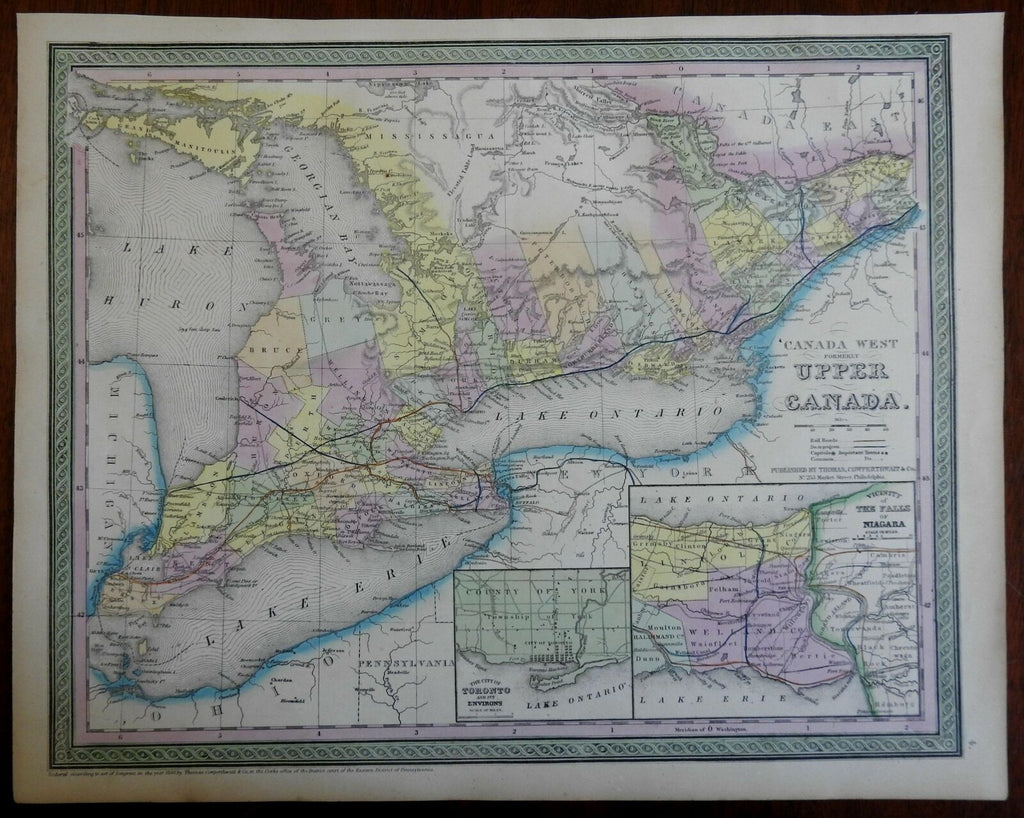
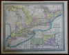

Canada West, Formerly Upper Canada.
(North America, Canada, Lake Erie, Lake Ontario, Toronto, St. Lawrence River, Georgian Bay).
Issued c. 1850, Philadelphia by S.A. Mitchell.
Attractive mid-19th century engraved comparison chart with original hand color. Mitchell / Cowperthwait maps of this mid-century era were issued with a range of color as well as variant decorative borders.
Nice looking example, pleasing age patina, any small age spots or minor age flaws easy to overlook or forgive.
Sheet Measures c. 12 1/2"H x 15 1/4" W.
Engraved Area Measures c. 10 1/2" H x 13 1/2" W.
Cartographic Reference(s):
Reps, American Maps and Mapmakers, p. 313.
Tooley's Dictionary of Mapmakers, vol. 4, pp. 260.
[R22111].