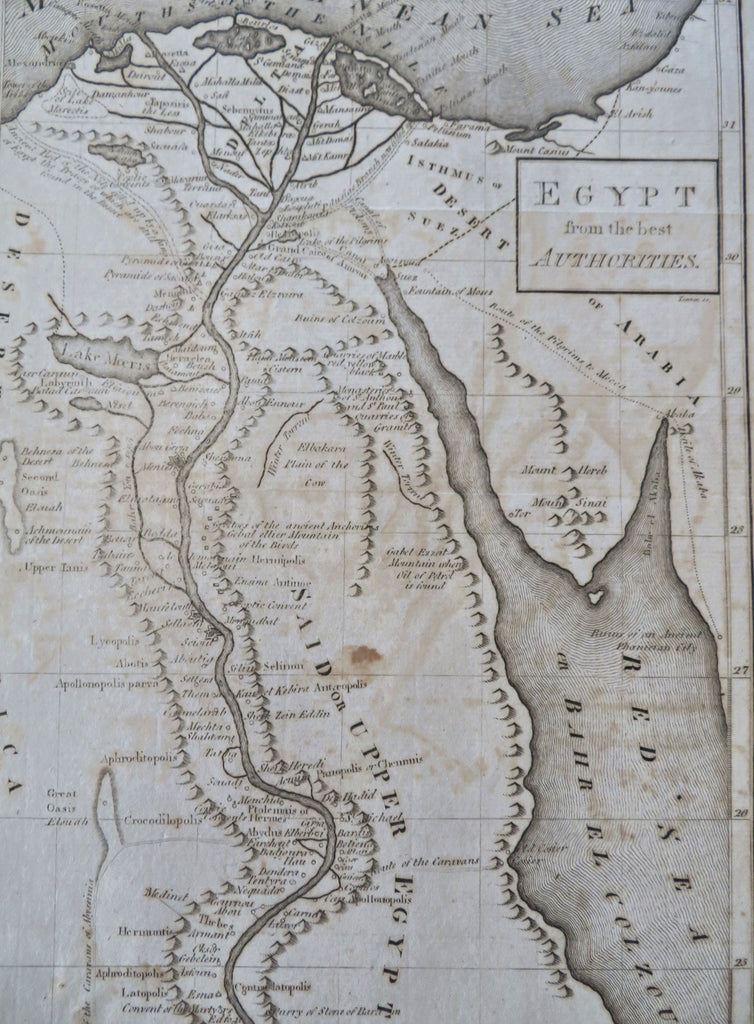
Upper & Lower Egypt Egypt North Africa Nile River Caravans 1807 J. Low map
Brian DiMambro


Egypt from the Best Authorities.
(Old Maps, 19th Century Maps, Africa, Egypt, Nile River, Mount Sinai, Cairo, Rosetta, Giza, Red Sea, Suez Isthmus).
Issued c.1807, New York by John Low. Engraved by Tanner.
Interesting early 19th century engraved map. Shows caravan routes as well as "pilgrims route to Mecca". Also displays fascinating place names such as Crocodilopolis, Aphroditopolis, Elephantium, etc.
Nice looking example, pleasing age patina, small staining and old offsetting, any minor age flaws easy to overlook or forgive.
Sheet measures c. 12 1/2" H x 8 5/8" W.
Engraved area measures c. 12" H x 7 1/4" W.
Cartographic Reference(s):.
Tooley's Dictionary of Mapmakers, vol. 3.
[R35782].
