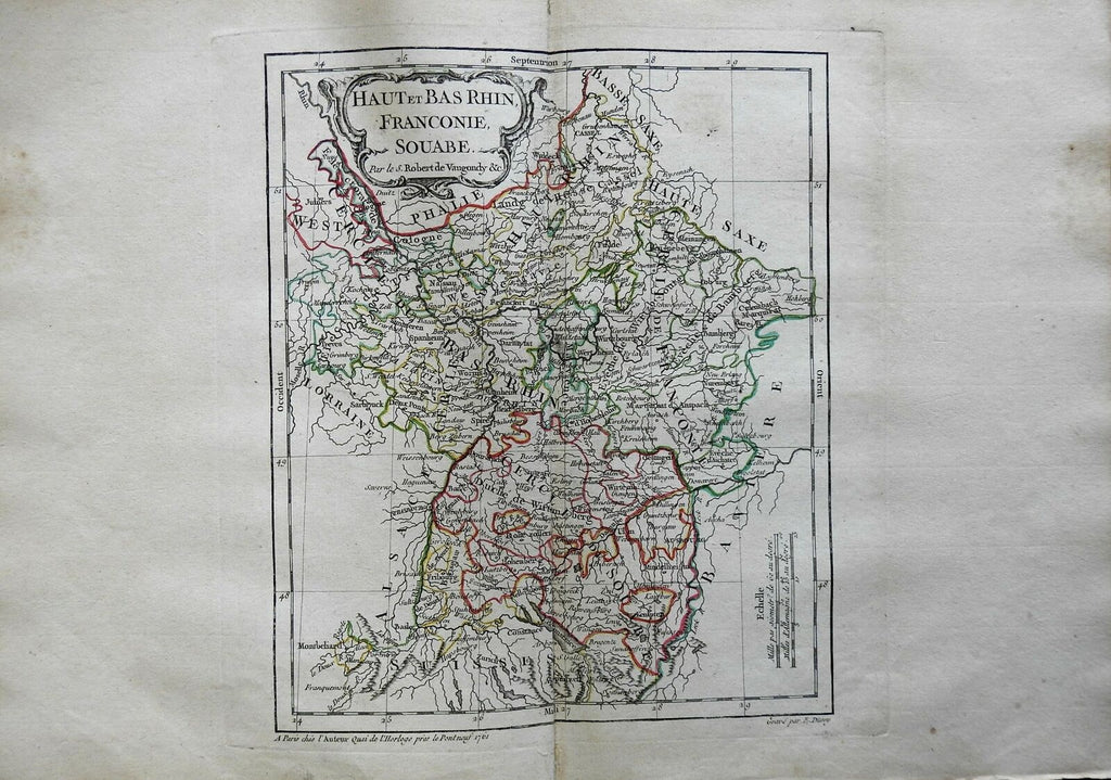
Upper & Lower Rhineland Holy Roman Empire Cologne Worms 1761 Vaugondy map
Brian DiMambro- Antiquarian Books, Maps & Prints


Haut et Bas Rhin, Franconie, Souabe.
(Europe, Holy Roman Empire, Germany, Upper Rhine, Lower Rhine, Franconia, Swabia, Cologne, Worms, Nuremberg).
Issued 1761, Paris by Robert Vaugondy. Engraved by E. Dussy.
Uncommon 18th century engraved map with original outline hand color. Large title cartouche lends to the decorative appeal.
Nice looking example, pleasing age patina, short split in lower centerfold blank margin, any minor age flaws easy to overlook or forgive.
Original center fold as issued.
Sheet Measures c. 11 3/8" H x 16" W.
Engraved Area Measures c. 9 1/2" H x 8" W.
Cartographic Reference(s):
Tooley's Dictionary of Mapmakers, vol. 4.
[R24981].
