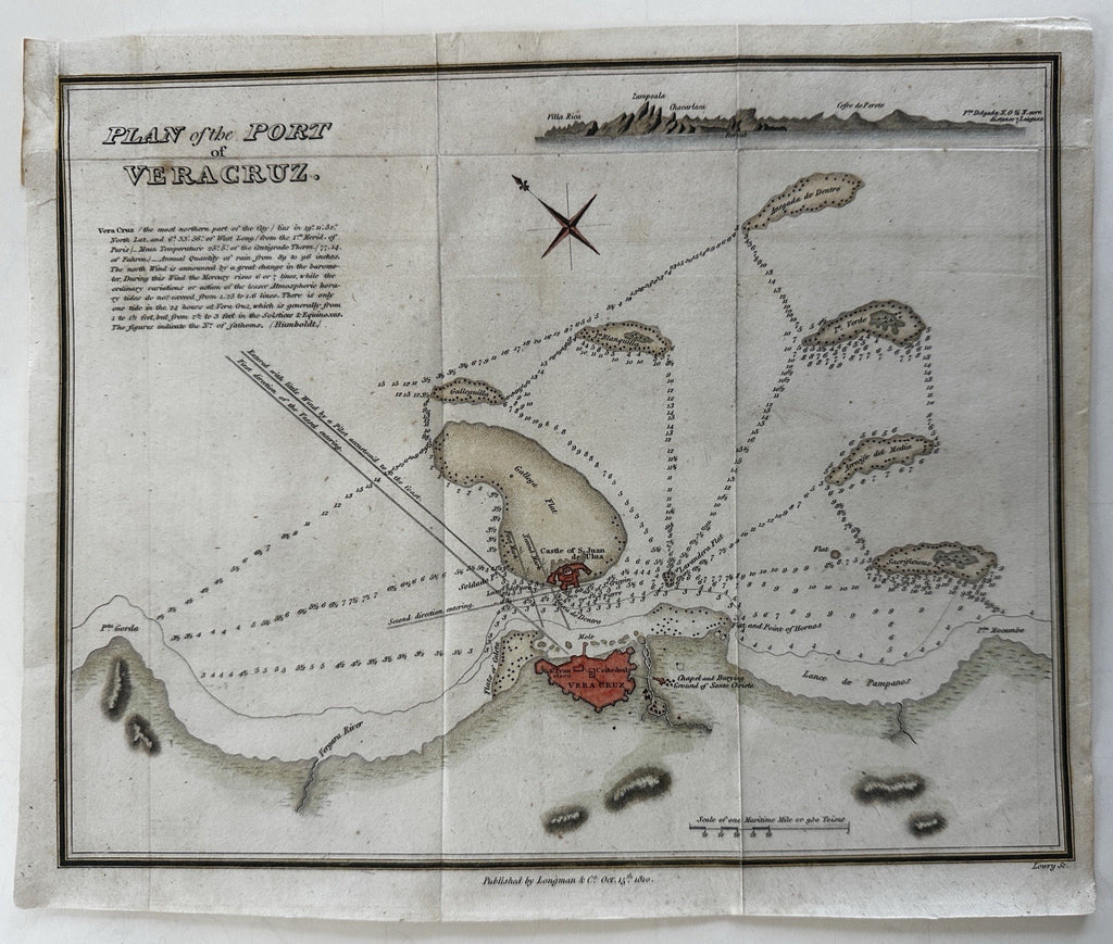
Vera Cruz Mexico 1810 Port plan with prospect view nautical depths map Longman
Brian DiMambro- Antiquarian Books, Maps & Prints


Plan of the Port of Verzcruz.
Publ. 1810, London by Longman & Co. Engraved by Lowry.
Rare map. Shoals, land topographic features and extensive sounding depths are shown, extensive text below title, small recognition view at top right showing elevations..
A visually superior example, clean, lovely hand coloring, overall map displays a pleasing age patina. Original fold lines.
Sheet size c. 8 3/4" H x 10 1/2" W.
Engraved area c. 8 7/8" H x 9 7/8" W.
Pictures show this scarce little map well. Please review them carefully at your leisure so you may clearly see what you are buying.
B15444
