Western Australia Dampier Archipelago explorer tracks 1893 Stanford map
Brian DiMambro- Antiquarian Books, Maps & Prints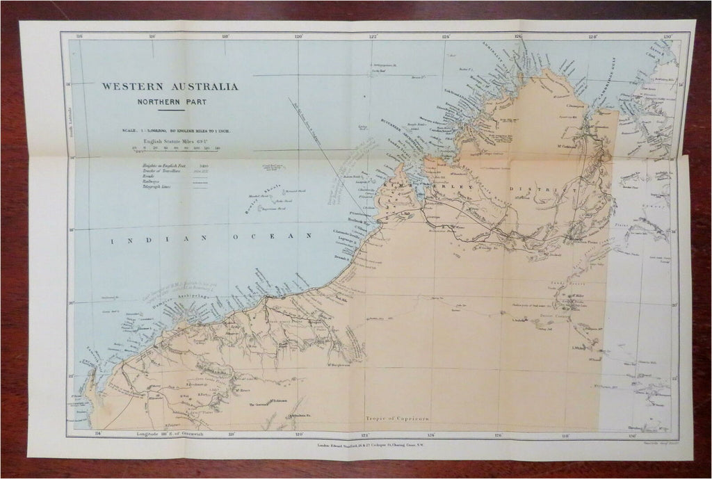
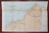
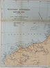
Western Australia - Northern Part.
(Oceania, Australia, Western Australia, Dampier Archipelago, Sunday Strait, Buccaneer Archipelago, Admiralty Gulf).
Issued 1893, London by Edward Stanford.
Uncommon late 19th century lithographed map with original hand color.
Tracks of early explorers are shown with names and dates.
Original fold lines as issued.
Sheet Measures c. 10 1/2" H x 15 7/8" W.
Printed Area Measures c. 9 3/4" H x 14 1/2" W.
Cartographic Reference(s):
Tooley's Dictionary of Mapmakers, vol. 4.
[R27285].