Western Territories Florida United States 1818 Walch rare territorial map
Brian DiMambro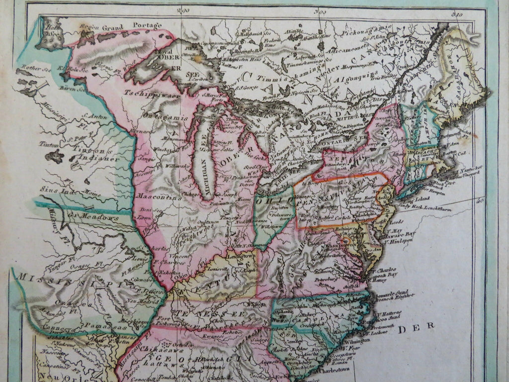
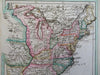
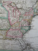
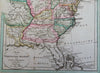
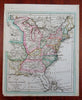
Karte der Vereinigten Staaten von Nord Amerika.
(Old Maps, 19th Century Maps, North America, United States, New England, New York, Pennsylvania, Virginia, Georgia, Mississippi Territory, Northwest Territories).
Issued 1818, Augsburg, Germany by Johann Walch.
Scarce and interesting early 19th century engraved map with attractive original hand color.
Note the boundaries of Georgia (still encompassing Alabama and Mississippi) and all the other areas west of the eastern seaboard states including a huge Northwest Territory. Florida still extends across to New Orleans, Louisiana is even labelled as New Orleans.
Remains a nice looking example with a pleasing age patina, small minor light spotting. Any age flaws mostly minor and easy to overlook or forgive.
Sheet Measures c. 8 1/2" H x 10 1/4"W.
Engraved Area Measures c. 7 1/4" H x 8 3/4" W.
Cartographic Reference(s):
Tooley's Dictionary of Mapmakers, vol. 4.
[R31737].