World Map in Double Hemispheres 1853 Hall engraved hand colored map Eclipse line
Brian DiMambro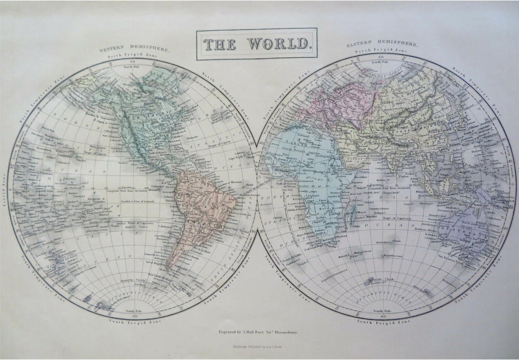
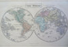
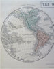
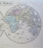
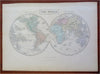
The World.
(Old Maps, 19th Century Maps, World Maps, Asia, Europe, Africa, North America, South America, Australia, New Zealand, Greenland).
Issued 1853, Edinburgh by A. & C. Black. Engraved by S. Hall.
Mid 19th century engraved map with original hand color.
Well preserved, nice looking example with pleasing age patina.
Sheet Measures c. 12 1/2" H x 17" W.
Engraved Area Measures c. "H x "W.
Cartographic Reference(s):
Tooley's Dictionary of Mapmakers, vol 1.
[R30958].