World Map in Double Hemispheres poles 1860 Weller large color map
Brian DiMambro- Antiquarian Books, Maps & Prints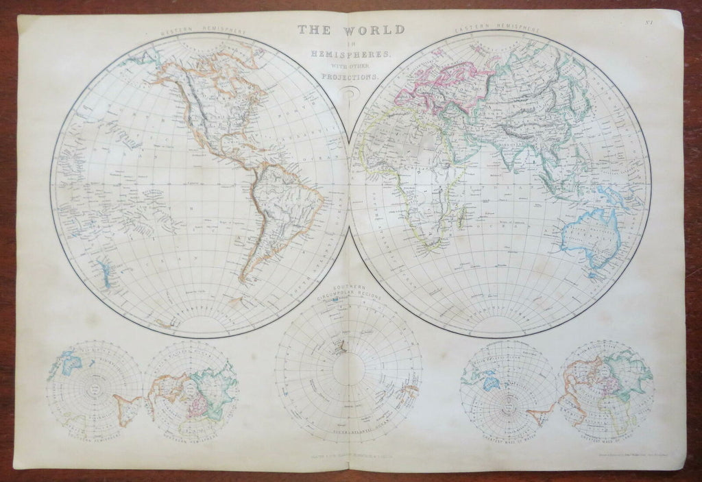
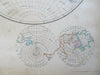
The World in Hemispheres with Other Projections.
(World Map, Eastern Hemisphere, Westerm Hemisphere, Northern Hemisphere, Southern Hemisphere).
Issued 1860, Glasgow by Blackie & Son. Engraved by Edw. Weller.
Fine large mid 19th century engraved map with original outline hand color.
From an uncommon atlas of the era, a monumental folio production that was fairly expensive in its day.
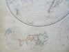
Some light uniform age toning to paper as typical, scattered small spotting or light stains, overall a nice looking example with pleasing age patina. Mellow looking mid-19th century map.
Original center fold as issued.
Sheet Measures c. 21 1/2" x 14 5/8".
Engraved Area Measures c. 19 1/2" x 13 1/2" .
Cartographic Reference(s):
Tooley's Dictionary of Mapmakers, vol. 1, 143.
[R27026].