World Map in Double Hemispheres Sailing Ships 1873 Dower large map
Brian DiMambro- Antiquarian Books, Maps & Prints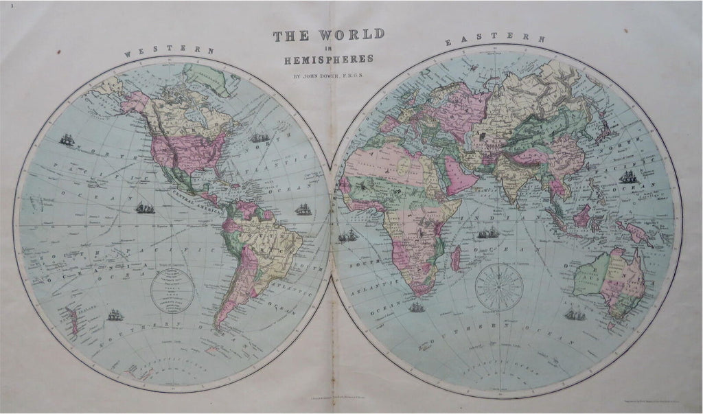
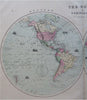
The World in Hemispheres.
(Old Maps, 19th Century Maps, World Maps, Double Hemispheres, Sailing Ships, North America, South America, Africa, Europe, Asia, Oceania).
Issued 1873, New York by J. David Williams. Map by John Dower.
Late 19th century lithographed map with lovely original hand color.
Some small minor spotting down the centerfold does not detract from the visual appeal of the ten sailing and tall mast ships seen around the world
Original center fold as issued.
Sheet Measures c. 19 1/2" H x 27" W.
Printed Area Measures c. 12 1/2" H x 23 1/2" W.
Cartographic Reference(s):
Tooley's Dictionary of Mapmakers, vol. 4.
[R30446].