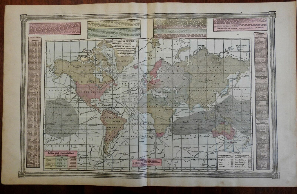
World Map Mercator Projection World Races Religions Population 1892 Tunison map
Brian DiMambro- Antiquarian Books, Maps & Prints


Historical Chart of the World on Mercator's Projection, Showing Dates and Routes of Voyages of Discovery.
(World Map, Mercator's Projection, World Population, Races of the World, Religions of the World, Voyages of Discovery.).
Issued c. 1892-6, Chicago by Tunison.
Late 19th century lithographed map with original hand color. Map is set within decorative border, as is the title.
Most Tunison maps of this era display strong acidic color. This particular example displays a much softer and more pleasing pastel color palette.
Paper uniformly gently age toned, but the map remains clean, with a pleasing age patina.
Original center fold as issued.
Sheet Measures c. 14"H x 23 "W.
Printed Area Measures c. 12 1/2 "H x 20 "W.
Cartographic Reference(s):
Tooley's Dictionary of Mapmakers, vol. 4.
[R21896].
