World Map Mercator's Projection London 1887-90 Cram scarce large detailed map
Brian DiMambro- Antiquarian Books, Maps & Prints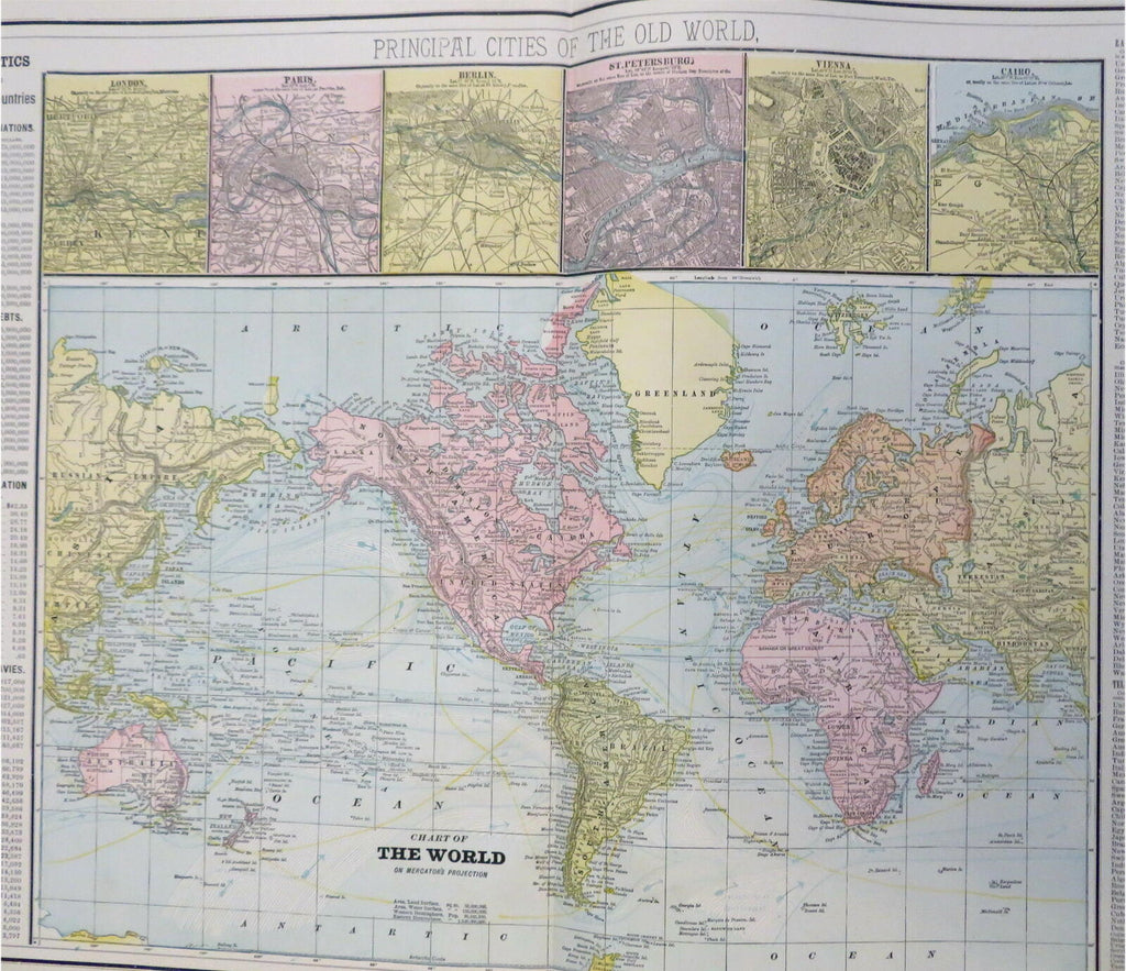
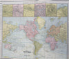
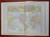
Chart of the World on Mercator's Projection - Principal Cities of the Old World.
(Old Maps, 19th Century Maps, World Maps, Mercator's Projection, London, Paris, Berlin, St. Petersburg, Vienna, Cairo).
Issued 1887-90, Chicago by Cram for the scare large folio Standard American Atlas.
Large late 19th century color lithographed map. Not to be confused with the far more common later Cram maps, this much scarcer earlier version is a unique format with a short-lived production time.
Six world city plans across the top, various statistics downthe sides which include wealth, money in circulation, military info, as well as telegraph lines
Map remains clean, minor 1" split at base of centerfold.
Original center-fold as issued.
Sheet Measures c. 17 1/2" H x 25" W.
Printed Area Measures c. 16" H x 22" W.
Cartographic Reference(s):
Tooley's Dictionary of Mapmakers, vol. 1.
[R30751].