World Map Mercator's Projection Sea Lanes Shipping Routes 1882 Blackie map
Brian DiMambro- Antiquarian Books, Maps & Prints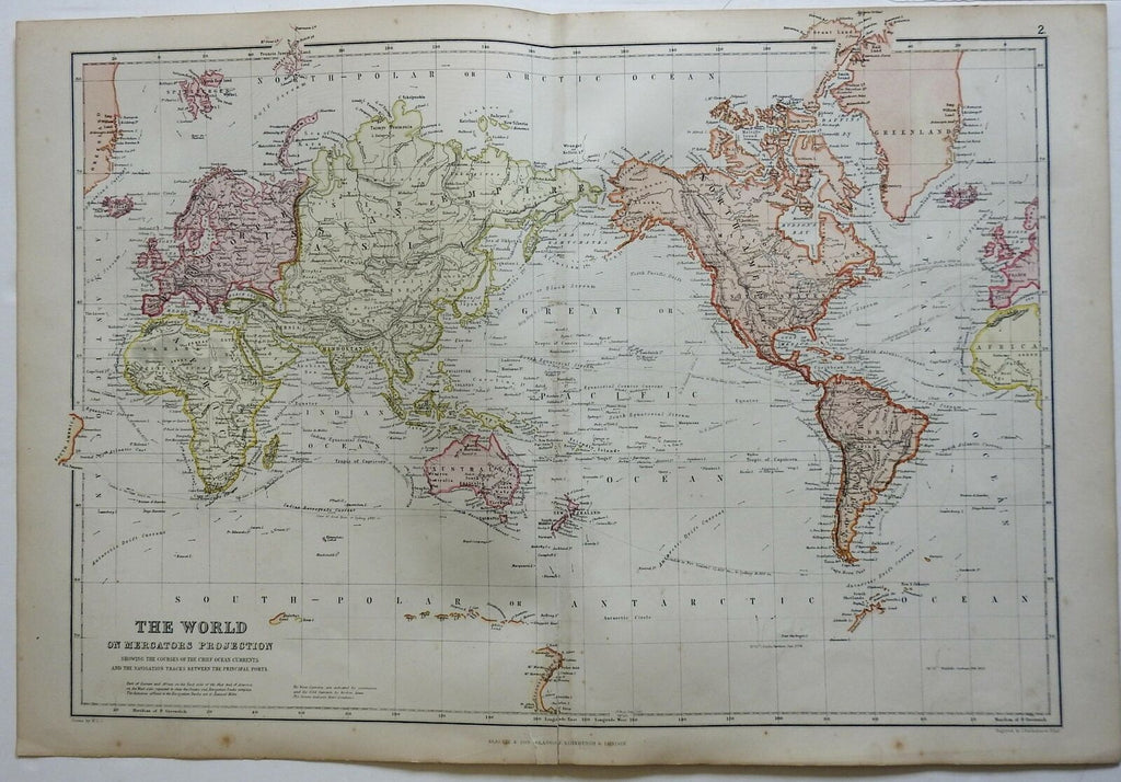
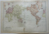
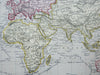
The World on Mercator's Projection Showing the Course of the Chief Ocean Currents and the Navigation Tracks Between the Principal Ports.
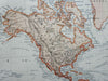
(World Map, Mercator's Projection, North America, South America, Asia, Oceania, Africa, Europe, Sea Lanes, Shipping Routes).
Issued 1882, Edinburgh by Blackie & Son.
Very detailed late 19th century color lithographed map.
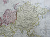
Well preserved, nice looking example with pleasing age patina. 3" closed split at bottom of centerfold.
Original center fold as issued.
Sheet Measures c. 15" H x 22" W.
Engraved Area Measures c. 13 1/2" H x 19 3/4" W.
Cartographic Reference(s):
Tooley's Dictionary of Mapmakers, vol. 1.
[R23164].