World Map Ocean Currents Icebergs 1875 Brue large hand colored scientific map
Brian DiMambro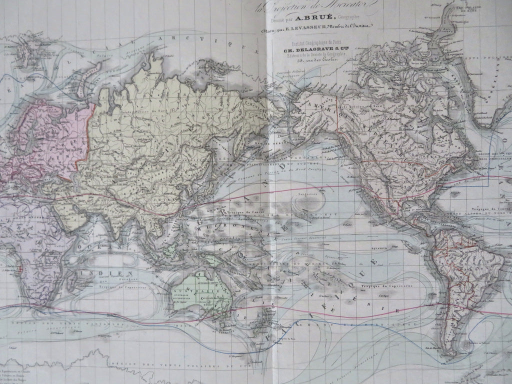
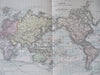
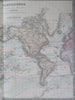
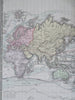
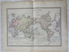
Planisphere sur la Projection de Mercator.
(Old Maps, 19th Century Maps, World Maps, Mercator's Projection, Ocean Currents, Icebergs)
Issued Paris, 1875. Issued by A. Brue, corrected by Levasseur.
Attractive large old engraved 19th century antique map.
Interesting thematic scientific emphasis, the color coded key lower left corner identifying different ocean flow patterns. Also shows the extent at this time of the seasonal iceberg flow range, or extent of fixed ice glaciers.
Paper and image remains clean and well preserved with a fine patina and visual appeal.
Original fold line as issued.
Sheet measures c. 18 3/4"H x 24 3/8"W.
Printed area measures c. 14 3/4"H x 20 1/8"W.
Tooley's Dictionary of Mapmakers , vol. 1.
[R32705]