World Map on Mercator's Projection Americas Explorer tracks 1872 Mitchell map
Brian DiMambro- Antiquarian Books, Maps & Prints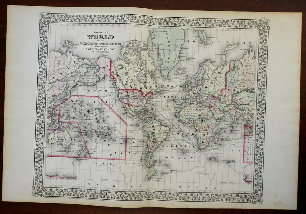
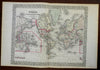
Map of the World of the Mercator Projection Exhibiting the American Continent As Its Centre.
(World Map, Mercator Projection, Polynesia, North America, South America, Africa, Europe, Asia, Australia, Greenland).
Issued 1872, Philadelphia by S.A. Mitchell.
19th century engraved map, with original hand color. Mitchell maps of this mid-century era were issued with a range of color as well as variant decorative borders.
Note the erroneous hook shaped Lake Torrens in southern Australia, routes of Capt. Cook, Capt. Ross, Gore and the Wilkes Exploration Exped. shown across the oceans.
On the back are two fine world in hemisphere maps with comparative mountain heights (worthy of framing as a pair instead of the map shown.
Nice looking example, pleasing age patina, any minor age flaws easy to overlook or forgive.
Original fold line as issued.
Sheet Measures c. 15 1/4" H x 23 1/2" W.
Engraved Area Measures c. 14 1/4" H x 17 1/2" W.
Cartographic Reference(s):
Reps, American Maps and Mapmakers, p. 313.
Tooley's Dictionary of Mapmakers, vol. 4, pp. 260.
[R24576].