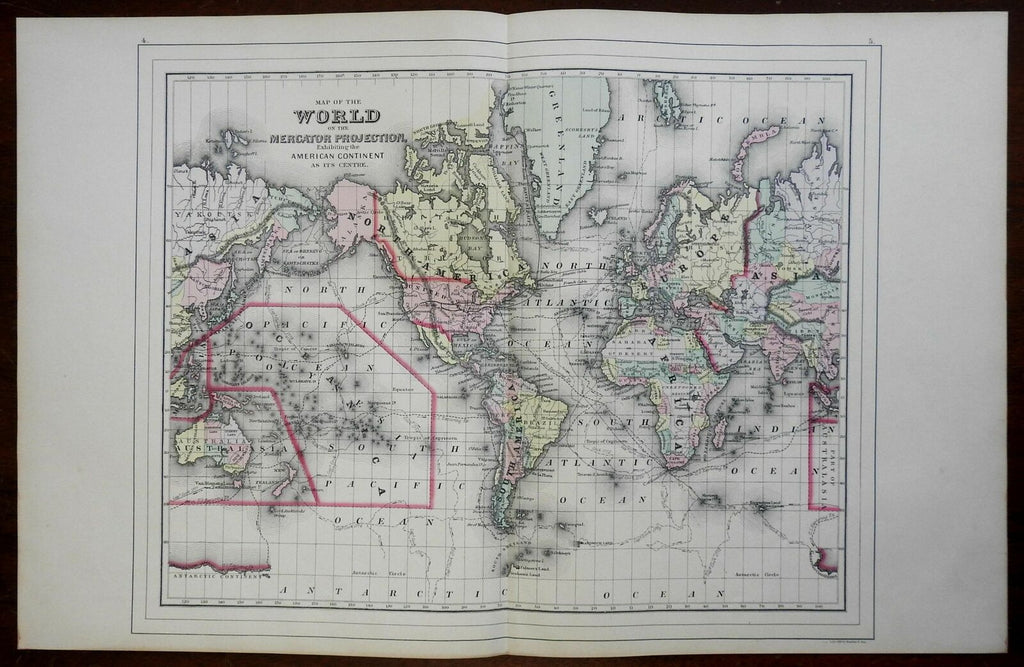
World Map on Mercator's Projection North & South America Asia 1887 Bradley map
Brian DiMambro- Antiquarian Books, Maps & Prints


Map of the World on the Mercator Projection, Exhibiting the American Continent at its Centre.
(World Map, Mercator's Projection, Polynesia, Australia, North America, South America, Africa, Europe, Asia, Australia, Oceania).
Issued 1887, Philadelphia by M. Bradley & Bro.
Late 19th century antique lithographed map with original hand color.
Original center fold as issued.
Sheet Measures c. 15 1/4" H x 24 3/4" W.
Printed Area Measures c. 14 3/4" H x 17 3/4" W.
Cartographic Reference(s):
Tooley's Dictionary of Mapmakers, vol. 1.
[R24488].
