World Map showing exploration tracks Capt. Cook & Wilkes 1871 Mitchell large map
Brian DiMambro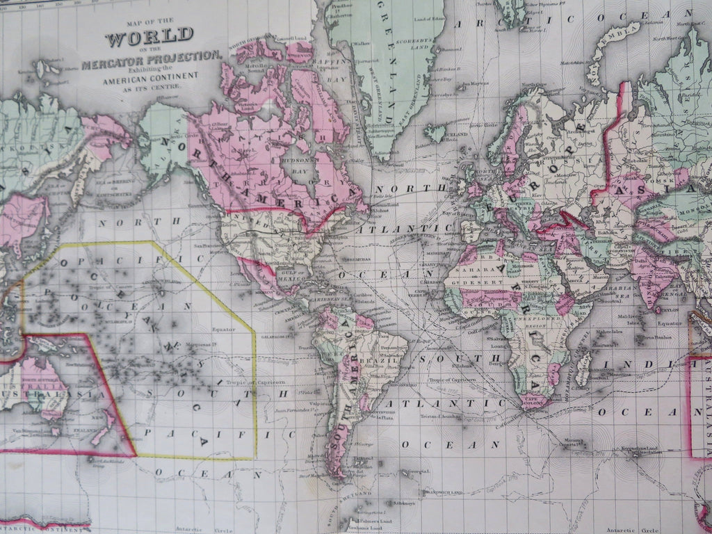
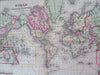
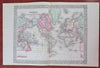
Map of the World on the Mercator Projection Exhibiting the American Continent at its centre.
(Maps of the world, explorers tracks).
Issued c. 1872, Philadelphia by S.A. Mitchell.
Large 19th century engraved map of the world, with original hand color. Mitchell maps of this mid-century era were issued with a range of color as well as variant decorative borders.
This version has the tracks of the explorers Capt. Cook in 1774-80 and the tracks of the U.S. Exploration Expedition under Wilkes. A giant (erroneous)hook shape is assigned to Lake Torrens in Africa.
Nice looking example, pleasing age patina, any minor age flaws easy to overlook or forgive.
Sheet Measures c. 12 1/2"H x 15 1/4" W.
Engraved Area Measures c. 10 1/2" H x 13 1/2" W.
Cartographic Reference(s):
Reps, American Maps and Mapmakers, p. 313.
Tooley's Dictionary of Mapmakers, vol. 4, pp. 260.
[R32171].